File:2020630-FS-Payette-ES-003 (50062609092).jpg
Jump to navigation
Jump to search
Size of this preview: 799 × 599 pixels. Other resolutions: 320 × 240 pixels | 640 × 480 pixels | 1,024 × 768 pixels | 1,280 × 960 pixels | 2,560 × 1,920 pixels | 3,805 × 2,854 pixels.
Original file (3,805 × 2,854 pixels, file size: 2.9 MB, MIME type: image/jpeg)
Captions
Captions
Add a one-line explanation of what this file represents
Summary
[edit].jpg&action=edit§ion=1)
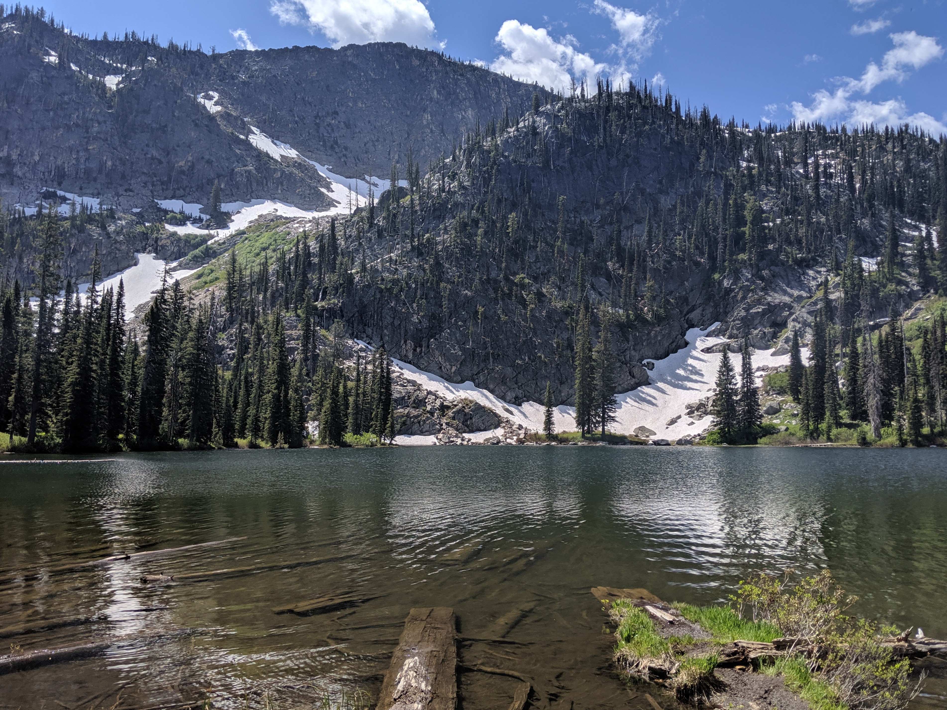
| Description | Snowslide Lake, located on the Payette National Forest (Courtesy photo by Emily Simpson). |
| Date | |
| Source | 2020630-FS-Payette-ES-003 |
| Author | Intermountain Forest Service, USDA Region 4 Photography |
Licensing
[edit].jpg&action=edit§ion=2)
This image is a work of the Forest Service of the United States Department of Agriculture. As a work of the U.S. federal government, the image is in the public domain.
|
| This image, originally posted to Flickr, was reviewed on 19 October 2022 by the administrator or reviewer Ruthven, who confirmed that it was available on Flickr under the stated license on that date. |
File history
Click on a date/time to view the file as it appeared at that time.
| Date/Time | Thumbnail | Dimensions | User | Comment | |
|---|---|---|---|---|---|
| current | 21:59, 22 September 2022 | | 3,805 × 2,854 (2.9 MB) | ToyitomaOda (talk | contribs) | Transferred from Flickr via #flickr2commons |
You cannot overwrite this file.
File usage on Commons
There are no pages that use this file.
.jpg&oldid=918364622)