File:20191125Hartogsweg. Ede.jpg
Jump to navigation
Jump to search
Size of this preview: 800 × 520 pixels. Other resolutions: 320 × 208 pixels | 640 × 416 pixels | 1,024 × 665 pixels | 1,280 × 831 pixels | 2,657 × 1,726 pixels.
Original file (2,657 × 1,726 pixels, file size: 1.24 MB, MIME type: image/jpeg)
Captions
Captions
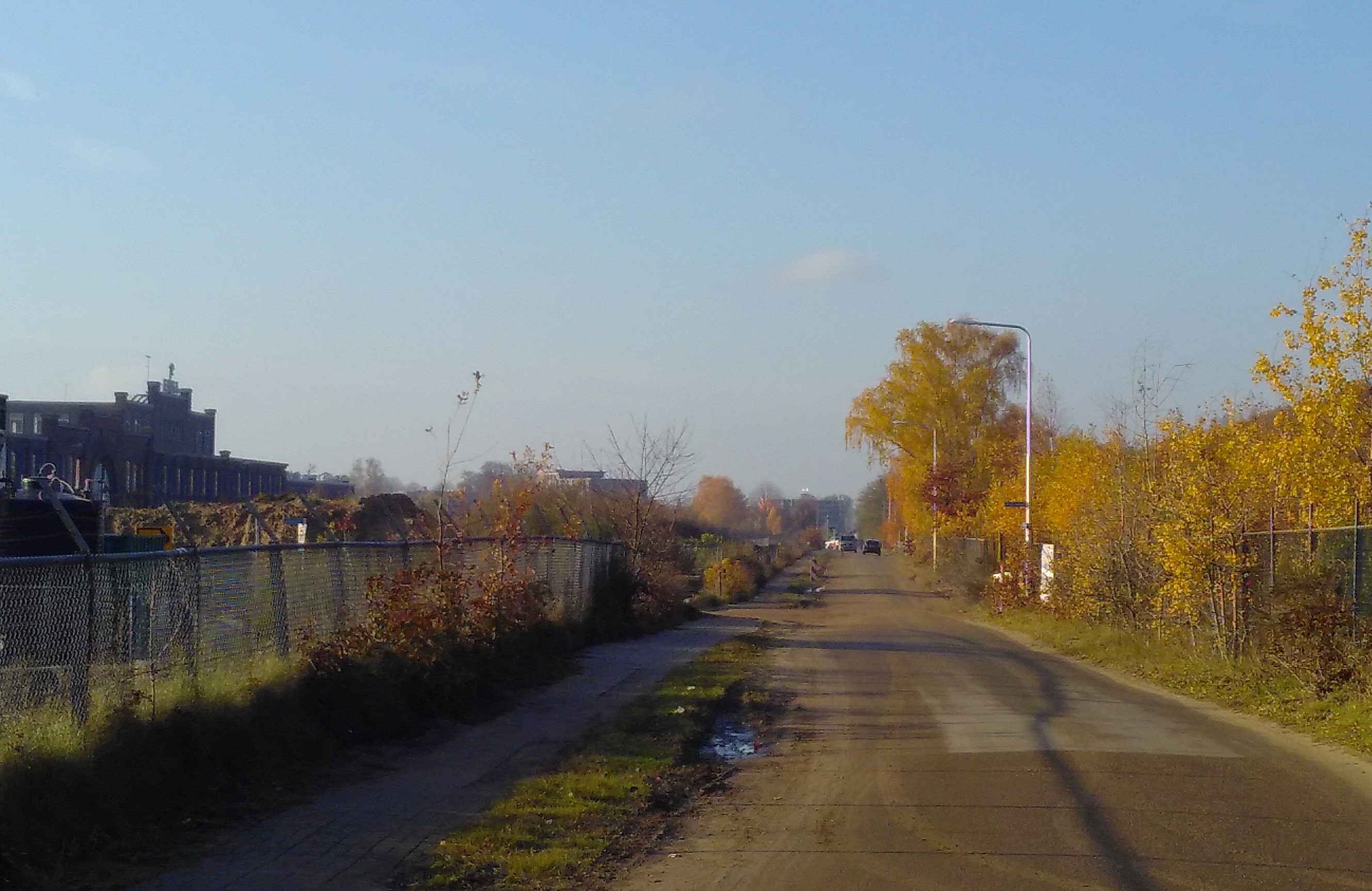
Hartogsweg, Street in Ede (NL)
Summary
[edit]
| Description |
English: Dr.Hartogsweg, Street in Ede (NL)
Nederlands: Dr.Hartogsweg, Straat in Ede. Aan de rechterzijde is de spoorlijn Utrecht-Arnhem en aan de linker zijde zien we een stukje van het hoofdgebouw van de vroegere Enkafabriek |
| Date | |
| Source | Own work |
| Author | WeeJeeVee |
| Camera location | | View this and other nearby images on: OpenStreetMap |
|---|
Licensing
[edit]
I, the copyright holder of this work, hereby publish it under the following license:
This file is licensed under the Creative Commons Attribution-Share Alike 4.0 International license.
- You are free:
- to share – to copy, distribute and transmit the work
- to remix – to adapt the work
- Under the following conditions:
- attribution – You must give appropriate credit, provide a link to the license, and indicate if changes were made. You may do so in any reasonable manner, but not in any way that suggests the licensor endorses you or your use.
- share alike – If you remix, transform, or build upon the material, you must distribute your contributions under the same or compatible license as the original.
File history
Click on a date/time to view the file as it appeared at that time.
| Date/Time | Thumbnail | Dimensions | User | Comment | |
|---|---|---|---|---|---|
| current | 15:02, 25 November 2019 | | 2,657 × 1,726 (1.24 MB) | WeeJeeVee (talk | contribs) | User created page with UploadWizard |
You cannot overwrite this file.
File usage on Commons
The following page uses this file:
File usage on other wikis
The following other wikis use this file:
- Usage on www.wikidata.org