File:20171124 Southern end of Keelung Elevated Road in Taipei, Taiwan 台灣台北 基隆路高架道路南端.jpg
Jump to navigation
Jump to search

Size of this preview: 800 × 559 pixels. Other resolutions: 320 × 224 pixels | 640 × 447 pixels | 1,024 × 716 pixels | 1,280 × 895 pixels | 2,560 × 1,790 pixels | 3,856 × 2,696 pixels.
Original file (3,856 × 2,696 pixels, file size: 1.38 MB, MIME type: image/jpeg)
Captions
Captions
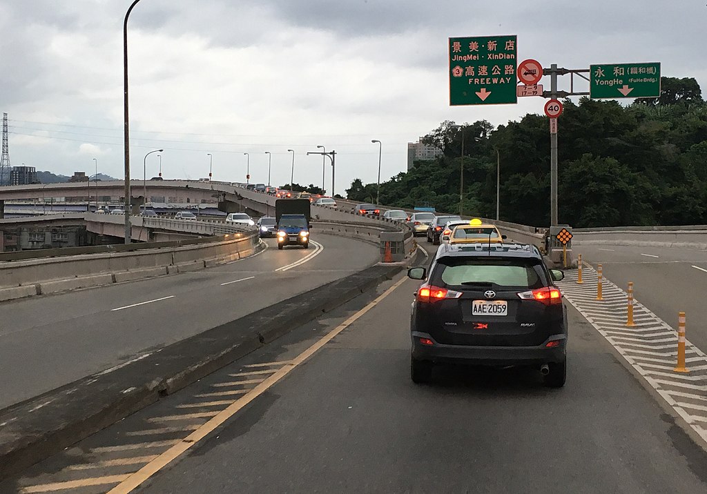
Southern end of Keelung Elevated Road in Taipei, Taiwan
Summary
[edit]
| Description |
English: Southern end of Keelung Elevated Road in Taipei, Taiwan |
| Depicts | Fuhe Bridge – bridge in Taiwan |
| Date | Taken on 24 November 2017, 16:42:12 (according to Exif data) |
| Source |
Own work |
| Author |
Howard61313 |
| Captured with |
| Camera location | | View this and other nearby images on: OpenStreetMap |
|---|
Licensing
[edit]
I, the copyright holder of this work, hereby publish it under the following license:
This file is licensed under the Creative Commons Attribution-Share Alike 4.0 International license.
- You are free:
- to share – to copy, distribute and transmit the work
- to remix – to adapt the work
- Under the following conditions:
- attribution – You must give appropriate credit, provide a link to the license, and indicate if changes were made. You may do so in any reasonable manner, but not in any way that suggests the licensor endorses you or your use.
- share alike – If you remix, transform, or build upon the material, you must distribute your contributions under the same or compatible license as the original.
File history
Click on a date/time to view the file as it appeared at that time.
| Date/Time | Thumbnail | Dimensions | User | Comment | |
|---|---|---|---|---|---|
| current | 05:16, 25 April 2018 | | 3,856 × 2,696 (1.38 MB) | Howard61313 (talk | contribs) | User created page with UploadWizard |
You cannot overwrite this file.
File usage on Commons
There are no pages that use this file.
File usage on other wikis
The following other wikis use this file:
- Usage on zh.wikipedia.org