File:20161023 Taipei Skyline.jpg
Jump to navigation
Jump to search

Size of this preview: 800 × 600 pixels. Other resolutions: 320 × 240 pixels | 640 × 480 pixels | 1,024 × 768 pixels | 1,280 × 960 pixels | 2,560 × 1,920 pixels | 5,520 × 4,140 pixels.
Original file (5,520 × 4,140 pixels, file size: 9.94 MB, MIME type: image/jpeg)
Captions
Captions
Add a one-line explanation of what this file represents
Summary
[edit]
| Description |
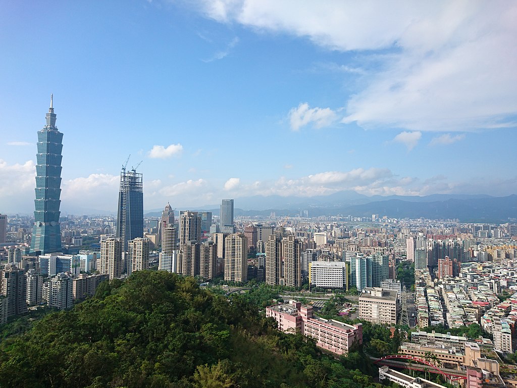
English: View of the impressive Taipei, Taiwan skyline from Mt. Elephant taken in 2016
中文(繁體):從象山眺望中華民國臺灣省臺北市天際線(攝於2016年) |
| Date | |
| Source | https://www.flickr.com/photos/pipergu/30419293201/ |
| Author | yc ku from Hsinchu, Taiwan, R.O.C. |
| Camera location | | View this and other nearby images on: OpenStreetMap |
|---|
Licensing
[edit]
| This image was originally posted to Flickr by N+4 at https://flickr.com/photos/41384513@N00/30419293201 (archive). It was reviewed on 9 February 2020 by FlickreviewR 2 and was confirmed to be licensed under the terms of the cc-by-2.0. |
This file is licensed under the Creative Commons Attribution 2.0 Generic license.
- You are free:
- to share – to copy, distribute and transmit the work
- to remix – to adapt the work
- Under the following conditions:
- attribution – You must give appropriate credit, provide a link to the license, and indicate if changes were made. You may do so in any reasonable manner, but not in any way that suggests the licensor endorses you or your use.
File history
Click on a date/time to view the file as it appeared at that time.
| Date/Time | Thumbnail | Dimensions | User | Comment | |
|---|---|---|---|---|---|
| current | 07:11, 9 February 2020 | | 5,520 × 4,140 (9.94 MB) | Heeheemalu (talk | contribs) | User created page with UploadWizard |
You cannot overwrite this file.
File usage on Commons
The following page uses this file:
File usage on other wikis
The following other wikis use this file:
- Usage on de.wikipedia.org
- Usage on es.wikipedia.org
- Usage on fr.wikipedia.org