File:2016-07-10 11-37-00 reconst-histo-belfort.jpg
Original file (1,485 × 1,695 pixels, file size: 1.08 MB, MIME type: image/jpeg)
Captions
Captions
Summary
[edit]| Description |
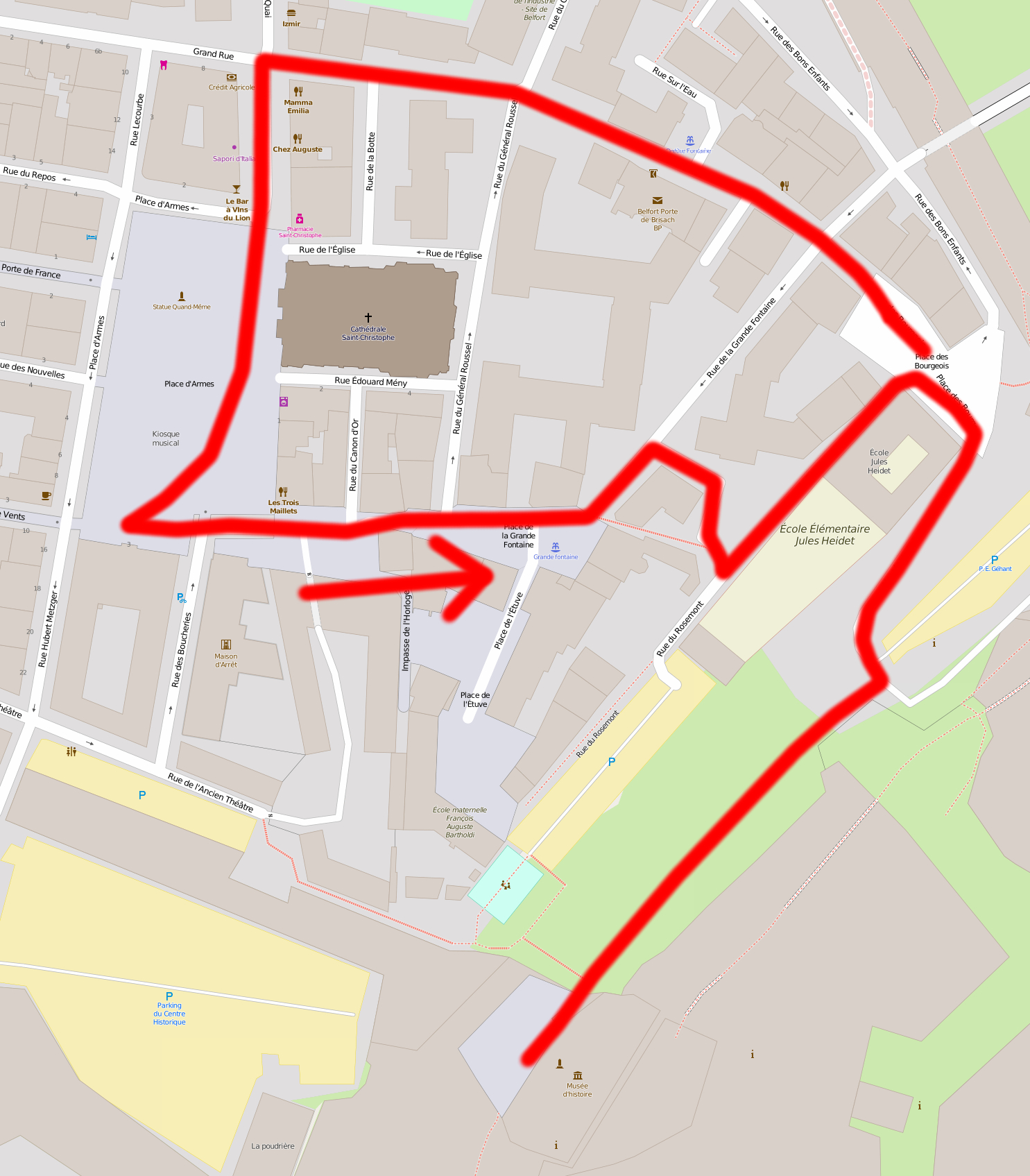
Reconstitution historique : Festival d'Histoire Vivante : Petit guerrier deviendra grand (Gallo-romains et Moyen-Age) : Défilé, de la citadelle à la place d'Armes. This map was created from OpenStreetMap project data, collected by the community. This map may be incomplete, and may contain errors. Don't rely solely on it for navigation. |
||||||||||||||||||||||
| Date | |||||||||||||||||||||||
| Source | You may find a page on the OpenStreetMap wiki page for Reconstitution historique : Festival d'Histoire Vivante : Petit guerrier deviendra grand (Gallo-romains et Moyen-Age) : Défilé, de la citadelle à la place d'Armes. | ||||||||||||||||||||||
| Creator |
OpenStreetMap contributors, OpenStreetMap contributors
|
||||||||||||||||||||||
| Permission (Reusing this file) |
OpenStreetMap data is available under the Open Database License (details). Map tiles are licensed under the Creative Commons Attribution-ShareAlike 2.0 license (CC-BY-SA 2.0).
This file is licensed under the Creative Commons Attribution-Share Alike 2.0 Generic license.
|
||||||||||||||||||||||
| Georeferencing | If inappropriate please set warp_status = skip to hide. | ||||||||||||||||||||||

| Camera location | | View this and other nearby images on: OpenStreetMap |
|---|
Licensing
[edit]
- You are free:
- to share – to copy, distribute and transmit the work
- to remix – to adapt the work
- Under the following conditions:
- attribution – You must give appropriate credit, provide a link to the license, and indicate if changes were made. You may do so in any reasonable manner, but not in any way that suggests the licensor endorses you or your use.
File history
Click on a date/time to view the file as it appeared at that time.
| Date/Time | Thumbnail | Dimensions | User | Comment | |
|---|---|---|---|---|---|
| current | 15:16, 12 July 2016 | | 1,485 × 1,695 (1.08 MB) | ComputerHotline (talk | contribs) |
You cannot overwrite this file.
File usage on Commons
The following page uses this file: