File:2015-09-17-082450 - Von Turpan nach Gaochang.jpg
Jump to navigation
Jump to search

Size of this preview: 800 × 177 pixels. Other resolutions: 320 × 71 pixels | 640 × 142 pixels | 1,024 × 227 pixels | 1,280 × 283 pixels | 2,560 × 567 pixels | 13,617 × 3,015 pixels.
Original file (13,617 × 3,015 pixels, file size: 16.63 MB, MIME type: image/jpeg)
Captions
Captions
Add a one-line explanation of what this file represents
Summary
[edit]
| Description |
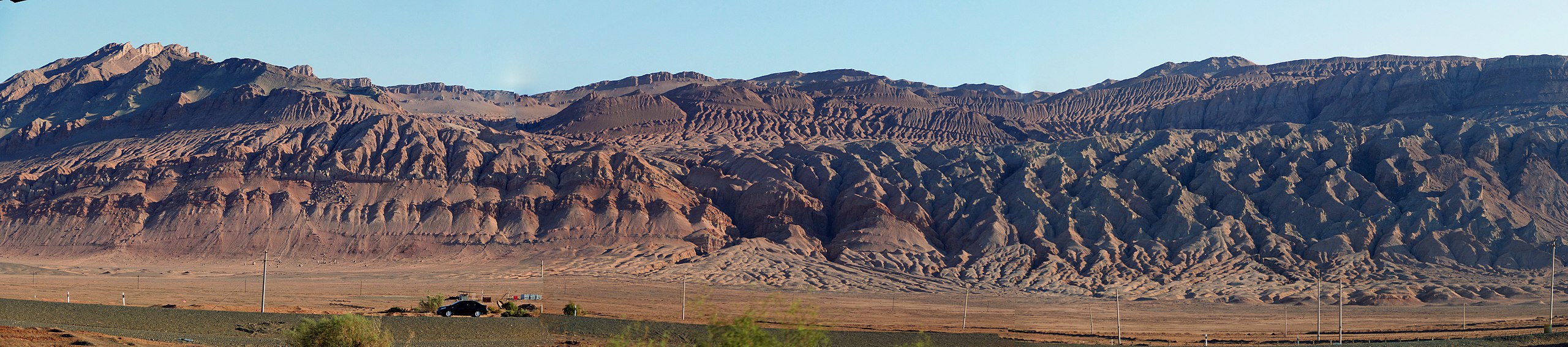
English: Between Turfan and Gaochang: Flaming Mountains
Deutsch: Zwischen Turpan und Gaochang: Flammende Berge |
| Date | |
| Source | Own work |
| Author | Zossolino |
| Camera location | | View this and other nearby images on: OpenStreetMap |
|---|
Siehe ein Video unter folgendem Link: See a video at the following link: https://vimeo.com/155047210#t=04m21s
Licensing
[edit]
I, the copyright holder of this work, hereby publish it under the following license:
This file is licensed under the Creative Commons Attribution-Share Alike 4.0 International license.
- You are free:
- to share – to copy, distribute and transmit the work
- to remix – to adapt the work
- Under the following conditions:
- attribution – You must give appropriate credit, provide a link to the license, and indicate if changes were made. You may do so in any reasonable manner, but not in any way that suggests the licensor endorses you or your use.
- share alike – If you remix, transform, or build upon the material, you must distribute your contributions under the same or compatible license as the original.
File history
Click on a date/time to view the file as it appeared at that time.
| Date/Time | Thumbnail | Dimensions | User | Comment | |
|---|---|---|---|---|---|
| current | 13:41, 13 May 2016 | 13,617 × 3,015 (16.63 MB) | Zossolino (talk | contribs) | User created page with UploadWizard |
You cannot overwrite this file.
File usage on Commons
There are no pages that use this file.