File:20140817T180028 Lat 2 4 8.13000000 N Long 103 30 53.68320000 E.jpg
Jump to navigation
Jump to search

Size of this preview: 800 × 533 pixels. Other resolutions: 320 × 213 pixels | 640 × 427 pixels | 1,024 × 683 pixels | 1,280 × 853 pixels | 2,560 × 1,707 pixels | 5,184 × 3,456 pixels.
Original file (5,184 × 3,456 pixels, file size: 10.52 MB, MIME type: image/jpeg)
Captions
Captions
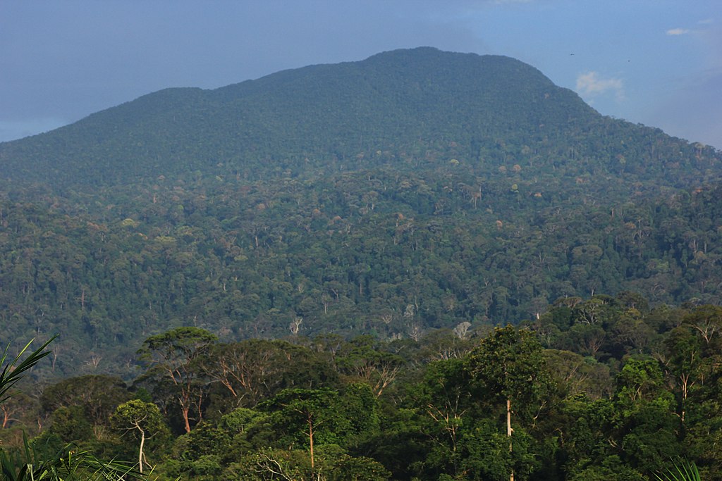
Gunung Belumut Recreational Forest/Hutan Lipur Gunung Berlumut
Summary
[edit]
| Description |
English: Gunung Belumut Recreational Forest/Hutan Lipur Gunung Berlumut |
| Date | |
| Source | Own work |
| Author | Toni Wöhrl |
| Camera location | | View this and other nearby images on: OpenStreetMap |
|---|
Licensing
[edit]
I, the copyright holder of this work, hereby publish it under the following license:
This file is licensed under the Creative Commons Attribution-Share Alike 4.0 International license.
- You are free:
- to share – to copy, distribute and transmit the work
- to remix – to adapt the work
- Under the following conditions:
- attribution – You must give appropriate credit, provide a link to the license, and indicate if changes were made. You may do so in any reasonable manner, but not in any way that suggests the licensor endorses you or your use.
- share alike – If you remix, transform, or build upon the material, you must distribute your contributions under the same or compatible license as the original.
This image was uploaded as part of Wiki Loves Earth 2019.
|
 |
File history
Click on a date/time to view the file as it appeared at that time.
| Date/Time | Thumbnail | Dimensions | User | Comment | |
|---|---|---|---|---|---|
| current | 19:13, 10 June 2019 | | 5,184 × 3,456 (10.52 MB) | Twhrl (talk | contribs) | User created page with UploadWizard |
You cannot overwrite this file.
File usage on Commons
The following 5 pages use this file:
File usage on other wikis
The following other wikis use this file:
- Usage on ceb.wikipedia.org
- Usage on en.wikipedia.org
- Usage on id.wikipedia.org
- Usage on lld.wikipedia.org
- Usage on ms.wikipedia.org
- Usage on uz.wikipedia.org
- Usage on www.wikidata.org