File:2014-07-14 17-38-33 tour-de-france-plancher-bas.jpg
Original file (3,838 × 2,016 pixels, file size: 4.43 MB, MIME type: image/jpeg)
Captions
Summary
[edit]Description2014-07-14 17-38-33 tour-de-france-plancher-bas.jpg |
This file was uploaded with Commonist.
|
||||||||||||||||||||||
Date | |||||||||||||||||||||||
Source | Own work | ||||||||||||||||||||||
Author |
|
Camera location | 47° 45′ 03.34″ N, 6° 43′ 51.07″ E | View this and other nearby images on: OpenStreetMap | 47.750928; 6.730853 |
---|
Licensing
[edit]- You are free:
- to share – to copy, distribute and transmit the work
- to remix – to adapt the work
- Under the following conditions:
- attribution – You must give appropriate credit, provide a link to the license, and indicate if changes were made. You may do so in any reasonable manner, but not in any way that suggests the licensor endorses you or your use.
File history
Click on a date/time to view the file as it appeared at that time.
Date/Time | Thumbnail | Dimensions | User | Comment | |
---|---|---|---|---|---|
current | 11:06, 16 July 2014 | 3,838 × 2,016 (4.43 MB) | ComputerHotline (talk | contribs) |
You cannot overwrite this file.
File usage on Commons
The following 2 pages use this file:
Metadata
This file contains additional information such as Exif metadata which may have been added by the digital camera, scanner, or software program used to create or digitize it. If the file has been modified from its original state, some details such as the timestamp may not fully reflect those of the original file. The timestamp is only as accurate as the clock in the camera, and it may be completely wrong.
Camera manufacturer | NIKON CORPORATION |
---|---|
Camera model | NIKON D300 |
Author | Bresson Thomas |
Copyright holder |
|
Exposure time | 1/1,600 sec (0.000625) |
F-number | f/4.2 |
ISO speed rating | 1,250 |
Date and time of data generation | 17:38, 14 July 2014 |
Lens focal length | 32 mm |
Latitude | 47° 45′ 3.34″ N |
Longitude | 6° 43′ 51.07″ E |
Altitude | 478 meters above sea level |
Image title |
|
Headline | 10eétape du tour de France |
City shown | Plancher-les-Mines |
Orientation | Normal |
Horizontal resolution | 300 dpi |
Vertical resolution | 300 dpi |
Software used | DXO Optics Pro v7 |
File change date and time | 17:38, 14 July 2014 |
Exposure Program | Aperture priority |
Date and time of digitizing | 17:38, 14 July 2014 |
APEX shutter speed | 10.643857 |
APEX aperture | 4.14078 |
APEX exposure bias | 0 |
Maximum land aperture | 4.1 APEX (f/4.14) |
Subject distance | 5.96 meters |
Metering mode | Center weighted average |
Light source | Unknown |
Flash | Flash did not fire |
DateTime subseconds | 00 |
DateTimeOriginal subseconds | 00 |
DateTimeDigitized subseconds | 00 |
Color space | sRGB |
Sensing method | One-chip color area sensor |
File source | Digital still camera |
Scene type | A directly photographed image |
Custom image processing | Normal process |
Exposure mode | Auto exposure |
White balance | Auto white balance |
Digital zoom ratio | 1 |
Focal length in 35 mm film | 48 mm |
Scene capture type | Standard |
Scene control | High gain up |
Contrast | Normal |
Saturation | Normal |
Sharpness | Normal |
Subject distance range | Unknown |
GPS time (atomic clock) | 15:38 |
Geodetic survey data used | WGS-84 |
GPS date | 14 July 2014 |
GPS tag version | 2.2.0.0 |
Code for country shown | FRA |
Country shown | France |
Province or state shown | Franche-Comté |
IIM version | 4 |
Structured data
Items portrayed in this file
depicts
2014
47°45'3.33976"N, 6°43'51.07195"E
14 July 2014
image/jpeg
60df90a9b80bc987f1c8fa89c3316a3f77c1574d
4,649,610 byte
2,016 pixel
3,838 pixel
0.000625 second
4.2
32 millimetre
1,250
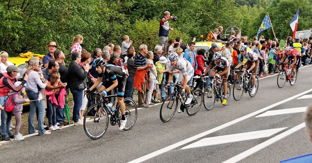
- Etape 10 du Tour de France 2014 à Plancher-Bas
- Mikel Nieve in 2014
- Rui Costa (cyclist) in 2014
- Jean-Christophe Péraud in 2014
- Romain Bardet in 2014
- Jurgen Van den Broeck in 2014
- Team Sky, Tour de France 2014
- Lampre-Merida, Tour de France 2014
- AG2R La Mondiale, Tour de France 2014
- Lotto-Belisol, Tour de France 2014