File:2010-05-21 16-29-47 Switzerland Schaffhausen Nohl.jpg
Jump to navigation
Jump to search

Size of this preview: 800 × 531 pixels. Other resolutions: 320 × 213 pixels | 640 × 425 pixels | 1,024 × 680 pixels | 1,280 × 850 pixels | 2,560 × 1,700 pixels | 4,288 × 2,848 pixels.
Original file (4,288 × 2,848 pixels, file size: 5.91 MB, MIME type: image/jpeg)
Captions
Captions
Add a one-line explanation of what this file represents
| Description |
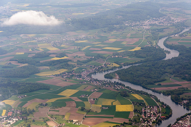
English: aerial view of the Rhine with Dörflingen, Büsingen and Gailingen
Deutsch: Blick auf den Rhein und Dörflingen, Büsingen und Gailingen. Im Rheinknie rechts der Bildmitte erstreckt sich das national bedeutende Amphibienlaichgebiet Schaarenwies/Schaarenwald.
Français : Vue sur le Rhin et Dörflingen, Büsingen et Gailingen. Dans le coude du Rhin, à droite du centre de l'image, s'étend le site de reproduction des amphibiens d'importance nationale Schaarenwies/Schaarenwald.
Italiano: Vista sul Reno e su Dörflingen, Büsingen e Gailingen. Nell'ansa del Reno a destra del centro dell'immagine si trova l'area di riproduzione degli anfibi di importanza nazionale "Schaarenwies/Schaarenwald". |
| Date | |
| Source |
Own work: Hansueli Krapf (User Simisa (talk · contribs)) This file was uploaded with Commonist. |
| Author | Hansueli Krapf |
| Camera location | | View this and other nearby images on: OpenStreetMap |
|---|
This file is licensed under the Creative Commons Attribution-Share Alike 3.0 Unported license.
- You are free:
- to share – to copy, distribute and transmit the work
- to remix – to adapt the work
- Under the following conditions:
- attribution – You must give appropriate credit, provide a link to the license, and indicate if changes were made. You may do so in any reasonable manner, but not in any way that suggests the licensor endorses you or your use.
- share alike – If you remix, transform, or build upon the material, you must distribute your contributions under the same or compatible license as the original.
| Annotations | This image is annotated: View the annotations at Commons |
File history
Click on a date/time to view the file as it appeared at that time.
| Date/Time | Thumbnail | Dimensions | User | Comment | |
|---|---|---|---|---|---|
| current | 08:04, 23 December 2014 | | 4,288 × 2,848 (5.91 MB) | Simisa (talk | contribs) | Changed colour temp |
| 12:27, 22 May 2010 |  | 4,288 × 2,848 (4.64 MB) | Simisa (talk | contribs) |
You cannot overwrite this file.
File usage on Commons
There are no pages that use this file.
File usage on other wikis
The following other wikis use this file:
- Usage on de.wikipedia.org
- Usage on de.wikivoyage.org
- Usage on hy.wikipedia.org
- Usage on ru.wikipedia.org
- Usage on www.wikidata.org