File:2008-05-12. Champagny en Vanoise. (1).JPG
Jump to navigation
Jump to search

Size of this preview: 800 × 534 pixels. Other resolutions: 320 × 214 pixels | 640 × 427 pixels | 1,024 × 684 pixels | 1,280 × 855 pixels | 2,709 × 1,809 pixels.
Original file (2,709 × 1,809 pixels, file size: 3.67 MB, MIME type: image/jpeg)
Captions
Captions
Add a one-line explanation of what this file represents
Summary
[edit].JPG&action=edit§ion=1)
| Description |
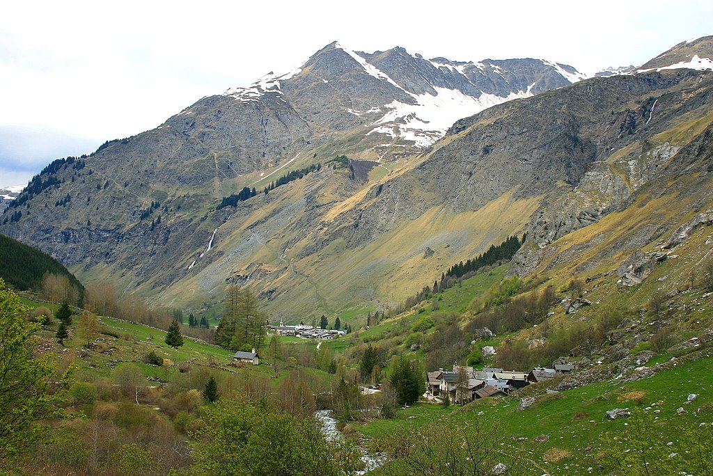
Français : Hameau de Champagny-en-Vanoise. |
| Date | |
| Source | Own work |
| Author | Espirat |
| Camera location | | View this and other nearby images on: OpenStreetMap |
|---|
.JPG¶ms=045.453699_N_0006.762260_E_globe:Earth_type:camera_heading:292.50&language=en)
Licensing
[edit].JPG&action=edit§ion=2)
I, the copyright holder of this work, hereby publish it under the following license:
This file is licensed under the Creative Commons Attribution-Share Alike 4.0 International license.
- You are free:
- to share – to copy, distribute and transmit the work
- to remix – to adapt the work
- Under the following conditions:
- attribution – You must give appropriate credit, provide a link to the license, and indicate if changes were made. You may do so in any reasonable manner, but not in any way that suggests the licensor endorses you or your use.
- share alike – If you remix, transform, or build upon the material, you must distribute your contributions under the same or compatible license as the original.
This image was uploaded as part of Wiki Loves Earth 2016.
|
 |
| Annotations | This image is annotated: View the annotations at Commons |
.JPG)
File history
Click on a date/time to view the file as it appeared at that time.
| Date/Time | Thumbnail | Dimensions | User | Comment | |
|---|---|---|---|---|---|
| current | 10:26, 2 July 2017 | | 2,709 × 1,809 (3.67 MB) | Hiddenhauser (talk | contribs) | Removed watermark by cropping 4 % horizontally and 4 % vertically using CropTool with precise mode. |
| 15:09, 12 May 2016 |  | 2,816 × 1,880 (4.57 MB) | Espirat (talk | contribs) | User created page with UploadWizard |
You cannot overwrite this file.
File usage on Commons
There are no pages that use this file.
File usage on other wikis
The following other wikis use this file:
- Usage on fr.wikipedia.org
.JPG&oldid=826491446)