File:1996 North Carolina gubernatorial election results map by county.svg
Jump to navigation
Jump to search

Size of this PNG preview of this SVG file: 800 × 312 pixels. Other resolutions: 320 × 125 pixels | 640 × 250 pixels | 1,024 × 399 pixels | 1,280 × 499 pixels | 2,560 × 999 pixels | 810 × 316 pixels.
Original file (SVG file, nominally 810 × 316 pixels, file size: 79 KB)
Captions
Captions
Add a one-line explanation of what this file represents
Summary
[edit]
| Description |
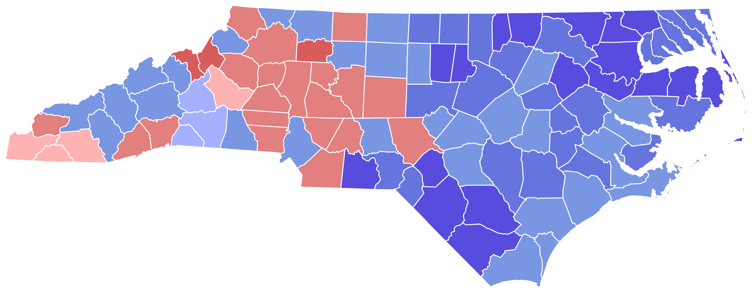
English: Results from https://uselectionatlas.org/RESULTS/index.html |
| Date | |
| Source | Own work |
| Author | Melvingatez34 |
| SVG development |
Licensing
[edit]
I, the copyright holder of this work, hereby publish it under the following license:
This file is licensed under the Creative Commons Attribution-Share Alike 4.0 International license.
- You are free:
- to share – to copy, distribute and transmit the work
- to remix – to adapt the work
- Under the following conditions:
- attribution – You must give appropriate credit, provide a link to the license, and indicate if changes were made. You may do so in any reasonable manner, but not in any way that suggests the licensor endorses you or your use.
- share alike – If you remix, transform, or build upon the material, you must distribute your contributions under the same or compatible license as the original.
File history
Click on a date/time to view the file as it appeared at that time.
| Date/Time | Thumbnail | Dimensions | User | Comment | |
|---|---|---|---|---|---|
| current | 17:09, 16 June 2024 | 810 × 316 (79 KB) | ZackCarns (talk | contribs) | Map shapes | |
| 08:30, 16 December 2020 | 426 × 173 (40 KB) | Over9000edits (talk | contribs) | Reverted to version as of 02:14, 24 September 2020 (UTC)all the other maps use these shapes | ||
| 18:32, 3 November 2020 |  | 385 × 160 (6.16 MB) | Kingofthedead (talk | contribs) | Reverted to version as of 07:02, 22 July 2020 (UTC) | |
| 02:14, 24 September 2020 | 426 × 173 (40 KB) | Over9000edits (talk | contribs) | Reverted to version as of 22:49, 18 June 2019 (UTC) | ||
| 07:02, 22 July 2020 |  | 385 × 160 (6.16 MB) | Kingofthedead (talk | contribs) | Reverted to version as of 18:43, 28 January 2019 (UTC) | |
| 22:49, 18 June 2019 | 426 × 173 (40 KB) | Over9000edits (talk | contribs) | Reverted to version as of 08:03, 28 December 2018 (UTC) | ||
| 18:43, 28 January 2019 |  | 385 × 160 (6.16 MB) | SpeedMcCool (talk | contribs) | Updated shapes | |
| 08:03, 28 December 2018 | 426 × 173 (40 KB) | Melvingatez34 (talk | contribs) | fixed shapes | ||
| 23:32, 8 December 2018 | 426 × 173 (107 KB) | Melvingatez34 (talk | contribs) | islands filled in | ||
| 23:28, 8 December 2018 | 426 × 173 (106 KB) | Melvingatez34 (talk | contribs) | User created page with UploadWizard |
You cannot overwrite this file.
File usage on Commons
The following file is a duplicate of this file (more details):
The following 9 pages use this file:
- User:Magog the Ogre/Political maps/2018 December 21-31
- User:Magog the Ogre/Political maps/2019 January 21-31
- User:Magog the Ogre/Political maps/2019 June 11-20
- User:Magog the Ogre/Political maps/2020 December 11-20
- User:Magog the Ogre/Political maps/2020 July 21-31
- User:Magog the Ogre/Political maps/2020 November 1-10
- User:Magog the Ogre/Political maps/2020 September 21-30
- User:Magog the Ogre/Political maps/2024 June 11-20
- File:North Carolina Governor Election Results by County, 1996.svg (file redirect)
File usage on other wikis
The following other wikis use this file:
- Usage on en.wikipedia.org