File:19811114 S56 CKU811-C13-29 20220708.jpg
Jump to navigation
Jump to search

Size of this preview: 600 × 600 pixels. Other resolutions: 240 × 240 pixels | 480 × 480 pixels | 768 × 768 pixels | 1,024 × 1,024 pixels | 1,621 × 1,621 pixels.
Original file (1,621 × 1,621 pixels, file size: 1 MB, MIME type: image/jpeg)
Captions
Captions
Add a one-line explanation of what this file represents
Summary
[edit]
| Description |
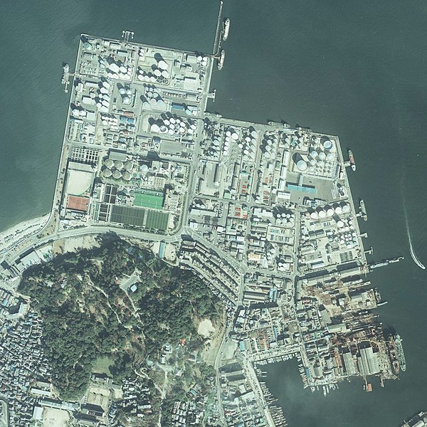
日本語: 1981年11月14日撮影の福岡市荒津地区の航空写真、国土地理院地図・空中写真閲覧サービス( https://mapps.gsi.go.jp/ )のCKU811-C13-29を加工して作成 |
| Date | |
| Source | 国土地理院地図・空中写真閲覧サービス( https://mapps.gsi.go.jp/ )のCKU811-C13-29を加工して作成 |
| Author | 国土交通省国土地理院 |
Licensing
[edit]

|
The copyright holder of this file, the Ministry of Land, Infrastructure, Transport and Tourism of Japan, allows anyone to use it for any purpose, provided that the copyright holder is properly attributed. Redistribution, derivative work, commercial use, and all other use is permitted. |
Attribution:
Copyright © National Land Image Information (Color Aerial Photographs), Ministry of Land, Infrastructure, Transport and Tourism
|
 |
This image is copyrighted by the Ministry of Land, Infrastructure, Transport and Tourism of Japan. For terms of use, see the stipulation to use of National Land Information (in Japanese) and message from MLIT (in Japanese and English). When you display this image on an article, include the following phrase in the description: "Made based on National Land Image Information (Color Aerial Photographs), Ministry of Land, Infrastructure, Transport and Tourism".
|
国土地理院コンテンツ利用規約https://www.gsi.go.jp/kikakuchousei/kikakuchousei40182.html
File history
Click on a date/time to view the file as it appeared at that time.
| Date/Time | Thumbnail | Dimensions | User | Comment | |
|---|---|---|---|---|---|
| current | 02:26, 10 July 2022 | | 1,621 × 1,621 (1 MB) | Hirho (talk | contribs) | Uploaded a work by 国土交通省国土地理院 from 国土地理院地図・空中写真閲覧サービス( https://mapps.gsi.go.jp/ )のCKU811-C13-29を加工して作成 with UploadWizard |
You cannot overwrite this file.
File usage on Commons
There are no pages that use this file.
File usage on other wikis
The following other wikis use this file:
- Usage on ja.wikipedia.org