File:1950 Census Enumeration District Maps - Mississippi (MS) - Panola County - Panola County - ED 54-1 to 49 - DPLA - 279d47b3dd79614bbc3d6e157bc54bce.jpg
Jump to navigation
Jump to search

Size of this preview: 800 × 582 pixels. Other resolutions: 320 × 233 pixels | 640 × 466 pixels | 1,024 × 745 pixels | 1,280 × 932 pixels | 2,560 × 1,863 pixels | 15,686 × 11,418 pixels.
Original file (15,686 × 11,418 pixels, file size: 19.45 MB, MIME type: image/jpeg)
Captions
Captions
Add a one-line explanation of what this file represents
| Warning | The original file is very high-resolution. It might not load properly or could cause your browser to freeze when opened at full size. |
|---|
Summary
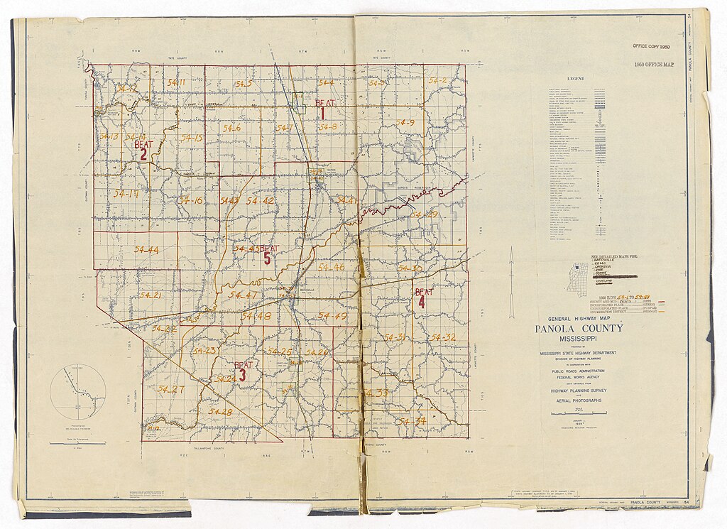
[edit]| 1950 Census Enumeration District Maps - Mississippi (MS) - Panola County - Panola County - ED 54-1 to 49
( |
||||||||||||||
|---|---|---|---|---|---|---|---|---|---|---|---|---|---|---|
| Creator | Department of Commerce. Bureau of the Census. Office of the Associate Director for Decennial Census. Geography Division. (1/1987 - 7/15/2011) | |||||||||||||
| Title |
1950 Census Enumeration District Maps - Mississippi (MS) - Panola County - Panola County - ED 54-1 to 49 |
|||||||||||||
| Date | 1880-01-01/1990-12-31 | |||||||||||||
| Collection |
|
|||||||||||||
| Source/Photographer |
|
|||||||||||||
| Permission (Reusing this file) |
|
|||||||||||||
| Standardized rights statement |
|
|||||||||||||


_-_Panola_County_-_Panola_County_-_ED_54-1_to_49_-_DPLA_-_279d47b3dd79614bbc3d6e157bc54bce.jpg&flash=no)
_-_Panola_County_-_Panola_County_-_ED_54-1_to_49_-_DPLA_-_279d47b3dd79614bbc3d6e157bc54bce.jpg&action=edit§ion=1)
File history
Click on a date/time to view the file as it appeared at that time.
| Date/Time | Thumbnail | Dimensions | User | Comment | |
|---|---|---|---|---|---|
| current | 19:15, 26 November 2020 | | 15,686 × 11,418 (19.45 MB) | DPLA bot (talk | contribs) | Uploading DPLA ID 279d47b3dd79614bbc3d6e157bc54bce |
You cannot overwrite this file.
File usage on Commons
The following page uses this file:
_-_Panola_County_-_Panola_County_-_ED_54-1_to_49_-_DPLA_-_279d47b3dd79614bbc3d6e157bc54bce.jpg)
_-_Panola_County_-_Panola_County_-_ED_54-1_to_49_-_DPLA_-_279d47b3dd79614bbc3d6e157bc54bce.jpg&oldid=864448709)