File:1936 Columbus map.png
Jump to navigation
Jump to search

Size of this preview: 718 × 599 pixels. Other resolutions: 288 × 240 pixels | 575 × 480 pixels | 920 × 768 pixels | 1,227 × 1,024 pixels | 2,454 × 2,048 pixels | 6,457 × 5,390 pixels.
Original file (6,457 × 5,390 pixels, file size: 29.34 MB, MIME type: image/png)
Captions
Captions
Add a one-line explanation of what this file represents
Summary
[edit]
| Description |
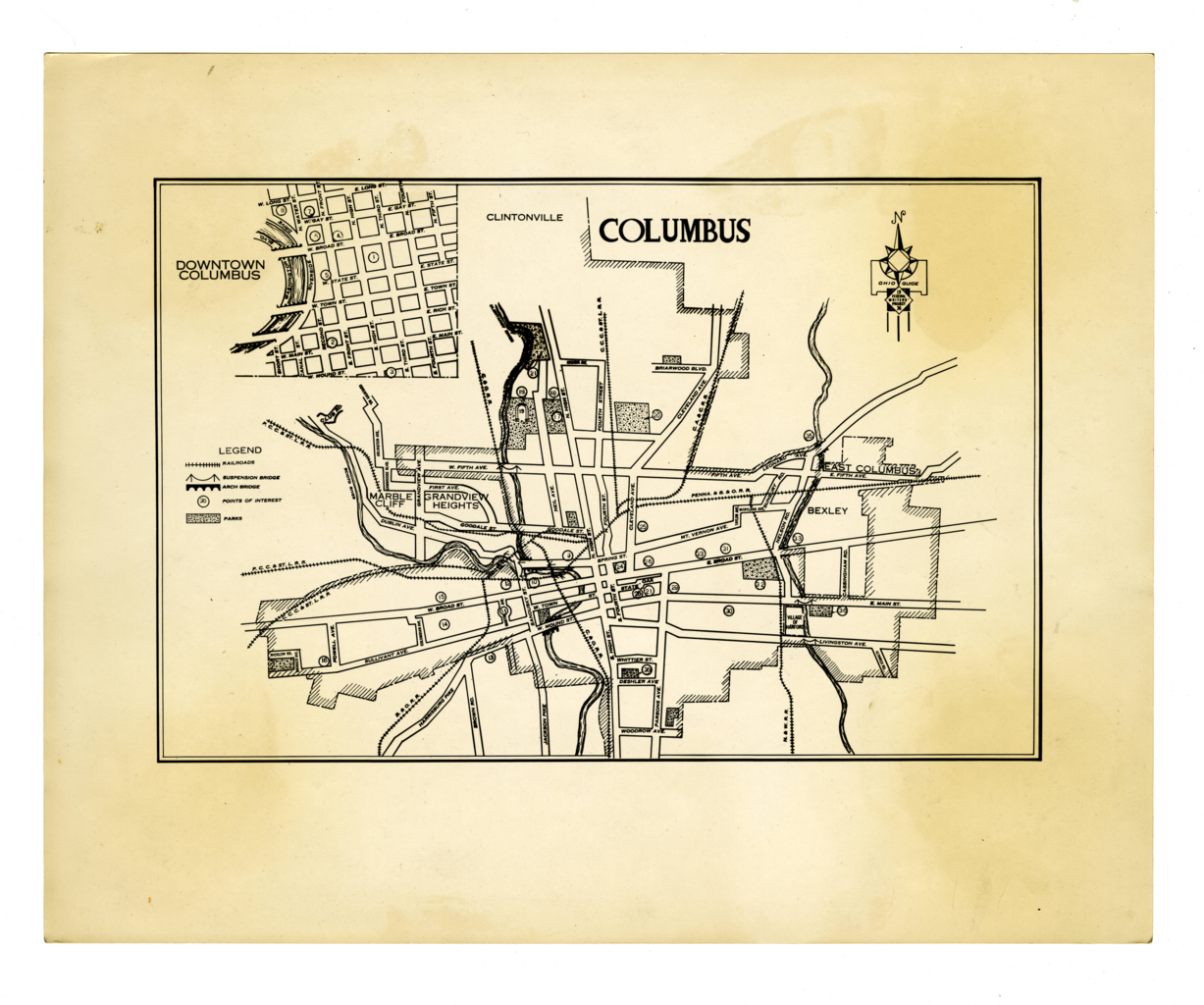
English: "This is a photograph of a map of Columbus, Ohio, in 1936, with a detail of downtown. It was created by the Ohio Writers' Program of the Works Progress Administration with the possible use in the Ohio Guide." |
| Date | |
| Source | https://ohiomemory.org/digital/collection/p267401coll34/id/8982 |
| Author | Ohio Federal Writers' Project |
Licensing
[edit]
This image is a work of a Works Progress Administration employee, taken or made as part of that person's official duties. As a work of the U.S. federal government, the image is in the public domain (17 U.S.C. §§ 101 and 105).
|
 |
File history
Click on a date/time to view the file as it appeared at that time.
| Date/Time | Thumbnail | Dimensions | User | Comment | |
|---|---|---|---|---|---|
| current | 22:41, 30 April 2020 | | 6,457 × 5,390 (29.34 MB) | Ɱ (talk | contribs) | Uploaded a work by Ohio Federal Writers' Project from https://ohiomemory.org/digital/collection/p267401coll34/id/8982 with UploadWizard |
You cannot overwrite this file.
File usage on Commons
There are no pages that use this file.