File:1929-Plan-of-City-Bus-Routes-Map.png
(Redirected from File:1929-Plan-of-City-Bus-Routes-Map.gif)

Size of this preview: 470 × 599 pixels. Other resolutions: 188 × 240 pixels | 377 × 480 pixels | 603 × 768 pixels | 803 × 1,024 pixels | 2,008 × 2,559 pixels.
Original file (2,008 × 2,559 pixels, file size: 906 KB, MIME type: image/png)
Captions
Captions
Add a one-line explanation of what this file represents
| Description |
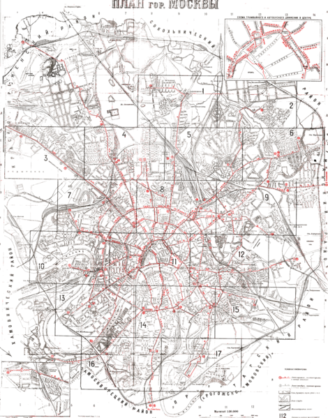
English: 1929 Plan of City Bus Routes Map |
||||
| Date | |||||
| Source | http://mappery.com/1929-Plan-of-City-Bus-Routes-Map | ||||
| Author | unknown draftsman | ||||
| Permission (Reusing this file) |
|
||||
Original upload log
[edit]
| Date/Time | Dimensions | User | Comment |
|---|---|---|---|
| 23 March 2010, 21:52:17 | 2008 × 2559 (656225 bytes) | Commonsnoop (talk · contribs) | {{Information |Description={{en|1=1929 Plan of City Bus Routes Map}} |Source=http://mappery.com/1929-Plan-of-City-Bus-Routes-Map |Author=unknown draftsman |Date=1929 |Permission={{PD-old}} |other_versions= }} |
File history
Click on a date/time to view the file as it appeared at that time.
| Date/Time | Thumbnail | Dimensions | User | Comment | |
|---|---|---|---|---|---|
| current | 20:01, 19 July 2014 | | 2,008 × 2,559 (906 KB) | GifTagger (talk | contribs) | Bot: Converting file to superior PNG file. (Source: 1929-Plan-of-City-Bus-Routes-Map.gif). This GIF was problematic due to non-greyscale color table. |
You cannot overwrite this file.
File usage on Commons
The following page uses this file:
- File:1929-Plan-of-City-Bus-Routes-Map.gif (file redirect)