File:1925 Конотопский округ.jpg
Jump to navigation
Jump to search

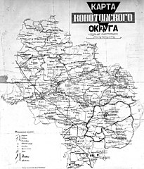
Size of this preview: 511 × 599 pixels. Other resolutions: 205 × 240 pixels | 409 × 480 pixels | 655 × 768 pixels | 873 × 1,024 pixels | 1,747 × 2,048 pixels | 2,900 × 3,400 pixels.
Original file (2,900 × 3,400 pixels, file size: 6.36 MB, MIME type: image/jpeg)
Captions
Captions
Add a one-line explanation of what this file represents
Summary
[edit]
| Description |
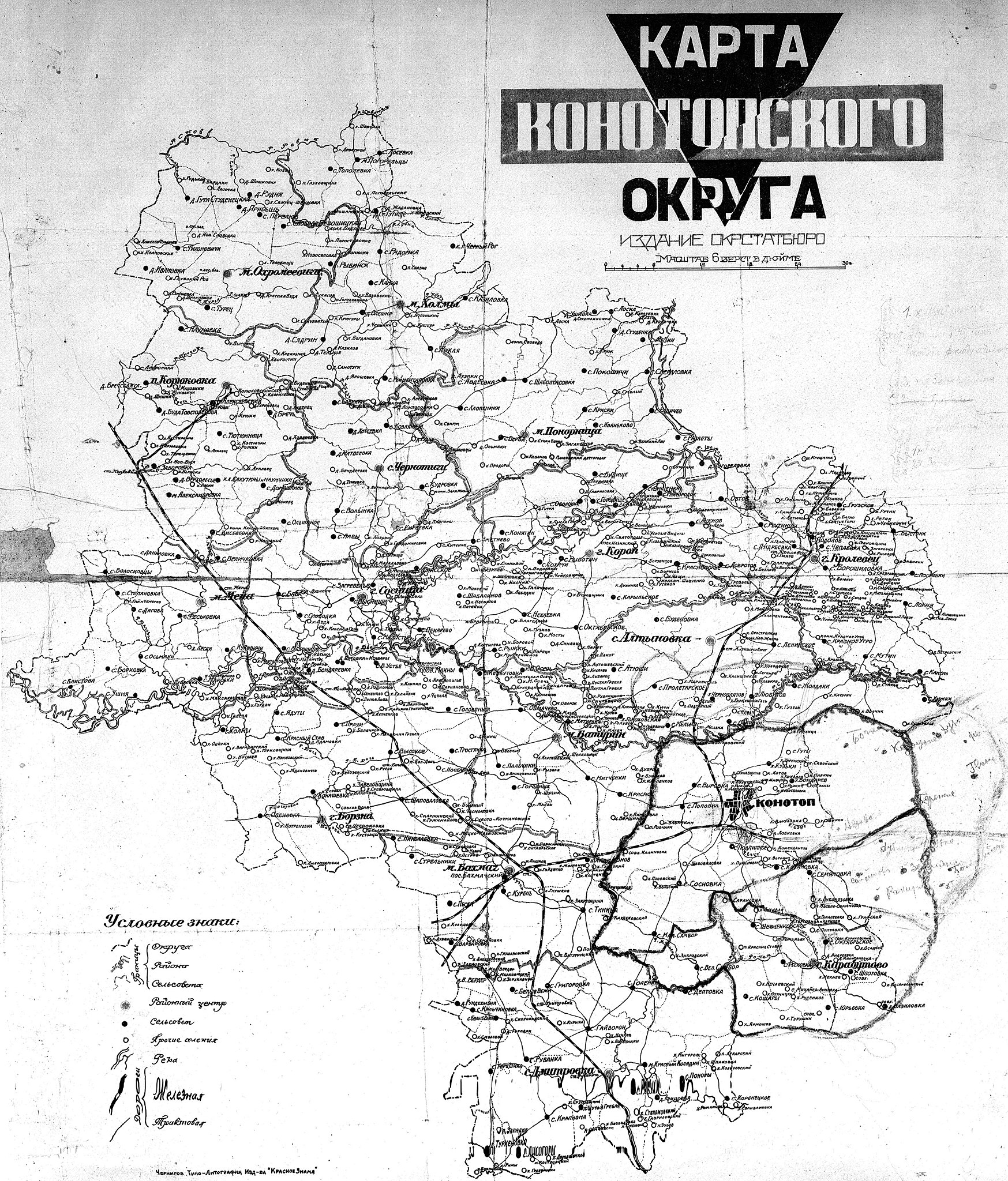
Українська: мапа Конотіпської округи Русский: Карта Конотопского округа УССР / Конотоп. Окр. Стат. Бюро. — 1:[252 000] ; 6 верст в дюймі. — Чернигов : Типо-литография изд. «Красное знамя», [1920-е]. |
| Date | |
| Source | scan: Artemco |
| Author | Окрстатбюро (Издательство "Красное Знамя") |
Licensing
[edit]
This file is a Ukrainian or Ukrainian SSR work and it is presently in the public domain in Ukraine, because it was published before January 1, 1954, and the creator (if known) died before that date (details).
|
 |
|
This work is in the public domain in its country of origin and other countries and areas where the copyright term is the author's life plus 100 years or fewer. | |
| This file has been identified as being free of known restrictions under copyright law, including all related and neighboring rights. | |
File history
Click on a date/time to view the file as it appeared at that time.
| Date/Time | Thumbnail | Dimensions | User | Comment | |
|---|---|---|---|---|---|
| current | 16:05, 16 December 2015 | | 2,900 × 3,400 (6.36 MB) | Artemco (talk | contribs) | {{Зображення |Опис=мапа Конотіпської округи |Автор=окрстатбюро |Джерело=окрстатбюро |Час створення=1925 |Ліцензія={{PD-old}} }} [[Категорія:Зображ... |
You cannot overwrite this file.
File usage on Commons
There are no pages that use this file.
File usage on other wikis
The following other wikis use this file:
- Usage on en.wikipedia.org
- Usage on ru.wikipedia.org
- Usage on uk.wikipedia.org
- Usage on uk.wikisource.org
- Usage on www.wikidata.org