File:1921 Embankment map Boston bySampson Murdock BPL 12593 detail.png
Jump to navigation
Jump to search

Size of this preview: 800 × 559 pixels. Other resolutions: 320 × 224 pixels | 640 × 447 pixels | 1,058 × 739 pixels.
Original file (1,058 × 739 pixels, file size: 1.65 MB, MIME type: image/png)
Captions
Captions
Add a one-line explanation of what this file represents
| Description |
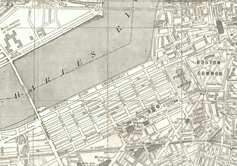
English: Detail of 1921 map of the city of Boston, showing Back Bay and vicinity |
| Date | |
| Source | Boston Public Library. http://maps.bpl.org/details_12593 |
| Author | Sampson, Murdock & Co. |
This media file is in the public domain in the United States. This applies to U.S. works where the copyright has expired, often because its first publication occurred prior to January 1, 1929, and if not then due to lack of notice or renewal. See this page for further explanation.
|
 | |
 |
File history
Click on a date/time to view the file as it appeared at that time.
| Date/Time | Thumbnail | Dimensions | User | Comment | |
|---|---|---|---|---|---|
| current | 17:35, 4 March 2012 | | 1,058 × 739 (1.65 MB) | M2545 (talk | contribs) | {{Information |Description={{en|1=Detail of 1921 map of the city of Boston, showing Back Bay and vicinity }} |Source=Boston Public Library. http://maps.bpl.org/details_12593 |Author=Sampson, Murdock & Co. |Date=1921 |Permission= |other_versions= }} [[C... |
You cannot overwrite this file.
File usage on Commons
The following page uses this file:
File usage on other wikis
The following other wikis use this file:
- Usage on en.wikipedia.org