File:1909 Sanford Fire Map Loleta, Humboldt County, California.jpg
Jump to navigation
Jump to search

Size of this preview: 505 × 599 pixels. Other resolutions: 202 × 240 pixels | 405 × 480 pixels | 647 × 768 pixels | 863 × 1,024 pixels | 1,613 × 1,913 pixels.
Original file (1,613 × 1,913 pixels, file size: 358 KB, MIME type: image/jpeg)
Captions
Captions
Add a one-line explanation of what this file represents
Summary
[edit]
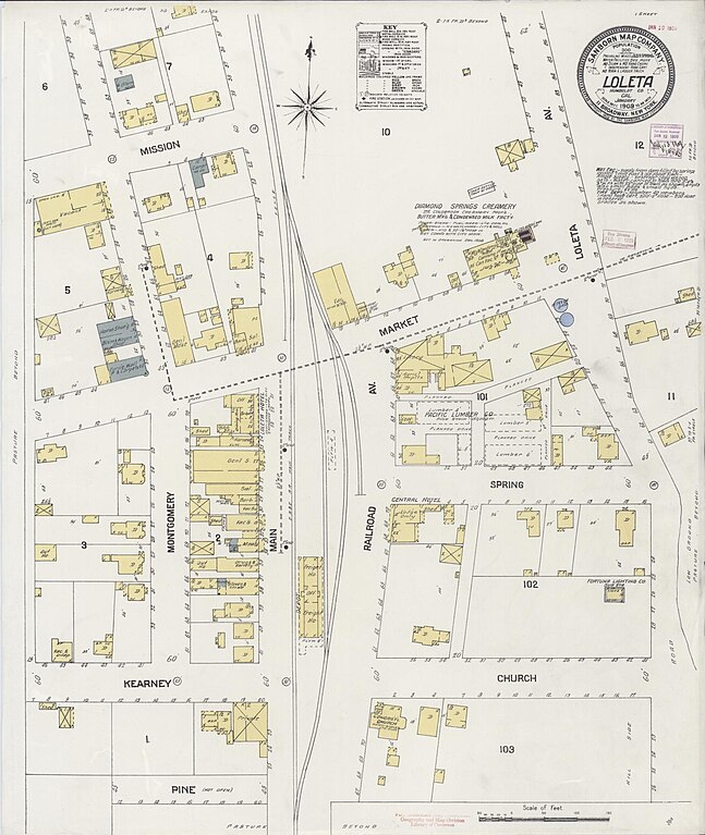
| Description | 1909_Sanford_Fire_Map_Loleta,_Humboldt_County,_California.jpg | ||
| Date | |||
| Source | Library of Congress https://www.loc.gov/item/sanborn00645_002/ | ||
| Author | Sanford Fire Insurance Map Company | ||
| Permission (Reusing this file) |
|
File history
Click on a date/time to view the file as it appeared at that time.
| Date/Time | Thumbnail | Dimensions | User | Comment | |
|---|---|---|---|---|---|
| current | 04:36, 11 November 2023 | | 1,613 × 1,913 (358 KB) | Ellin Beltz (talk | contribs) | {{Information |Description=1909_Sanford_Fire_Map_Loleta,_Humboldt_County,_California.jpg |Source=Library of Congress https://www.loc.gov/item/sanborn00645_002/ |Date=1909 |Author=Sanford Fire Insurance Map Company |Permission={{PD-1923}} |other_versions= }} Category:Sanborn Fire Insurance Map from Loleta, Humboldt County, California |
You cannot overwrite this file.
File usage on Commons
The following page uses this file: