File:1902 Squam Lake map.png
Jump to navigation
Jump to search

Size of this preview: 472 × 599 pixels. Other resolutions: 189 × 240 pixels | 378 × 480 pixels | 605 × 768 pixels | 806 × 1,024 pixels | 1,613 × 2,048 pixels | 3,500 × 4,444 pixels.
Original file (3,500 × 4,444 pixels, file size: 22.71 MB, MIME type: image/png)
Captions
Captions
Add a one-line explanation of what this file represents
Summary
[edit]| Description |
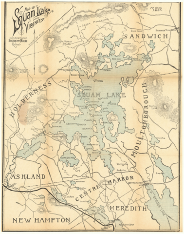
English: 1902 map of the Squam Lake area |
|||
| Date | ||||
| Source | Ward Maps | |||
| Author | Rand Avery Supply Co. | |||
| Permission (Reusing this file) |
|

File history
Click on a date/time to view the file as it appeared at that time.
| Date/Time | Thumbnail | Dimensions | User | Comment | |
|---|---|---|---|---|---|
| current | 00:04, 13 June 2020 | | 3,500 × 4,444 (22.71 MB) | Pi.1415926535 (talk | contribs) | {{Information |description ={{en|1=1902 map of the Squam Lake area}} |date =1902 |source =[https://www.wardmaps.com/viewasset.php?aid=16540 Ward Maps] |author =Rand Avery Supply Co. |permission ={{PD-scan|PD-US-expired}} }} Category:Squam Lake Category:1902 in New Hampshire Category:1902 maps of the United States Category:Rail transport maps of New Hampshire Category:Maps of the Boston and Maine Railroad [[Category:1902 in rail transport in the... |
You cannot overwrite this file.
File usage on Commons
The following 3 pages use this file: