File:1895 DoverSt map Boston bySample BPL 12476 detail.png
Jump to navigation
Jump to search

Size of this preview: 800 × 401 pixels. Other resolutions: 320 × 160 pixels | 640 × 321 pixels | 1,215 × 609 pixels.
Original file (1,215 × 609 pixels, file size: 1.22 MB, MIME type: image/png)
Captions
Captions
Add a one-line explanation of what this file represents
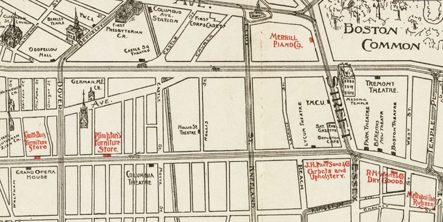
| Description | Detail of map of Boston, Massachusetts, 1895 |
| Date | |
| Source | Boston Public Library, Norman B. Leventhal Map Center. http://maps.bpl.org/details_12476 |
| Author | Sample |
|
This work is in the public domain in its country of origin and other countries and areas where the copyright term is the author's life plus 70 years or fewer. | |
| This file has been identified as being free of known restrictions under copyright law, including all related and neighboring rights. | |
File history
Click on a date/time to view the file as it appeared at that time.
| Date/Time | Thumbnail | Dimensions | User | Comment | |
|---|---|---|---|---|---|
| current | 14:31, 8 February 2012 | | 1,215 × 609 (1.22 MB) | M2545 (talk | contribs) | {{Information |Description=Detail of map of Boston, Massachusetts, 1895 |Source=Boston Public Library, Norman B. Leventhal Map Center. http://maps.bpl.org/details_12476 |Date=1895 |Author=Sample |Permission= |other_versions= }} {{PD-Old}} [[Category:Dov |
You cannot overwrite this file.
File usage on Commons
There are no pages that use this file.
Metadata
Categories:
- Dover Street (Boston)
- Columbia Theatre (Boston)
- Park Theatre (Boston, Massachusetts)
- Tremont Theatre, Boston
- Boston Theatre (Washington Street)
- Keith's Theatre (Boston)
- Lyceum Theatre, Boston
- Castle Square Theatre
- Hollis Street Theatre
- Theatre District, Boston
- Masonic Temple, Boston
- Details of 1890s maps of Boston