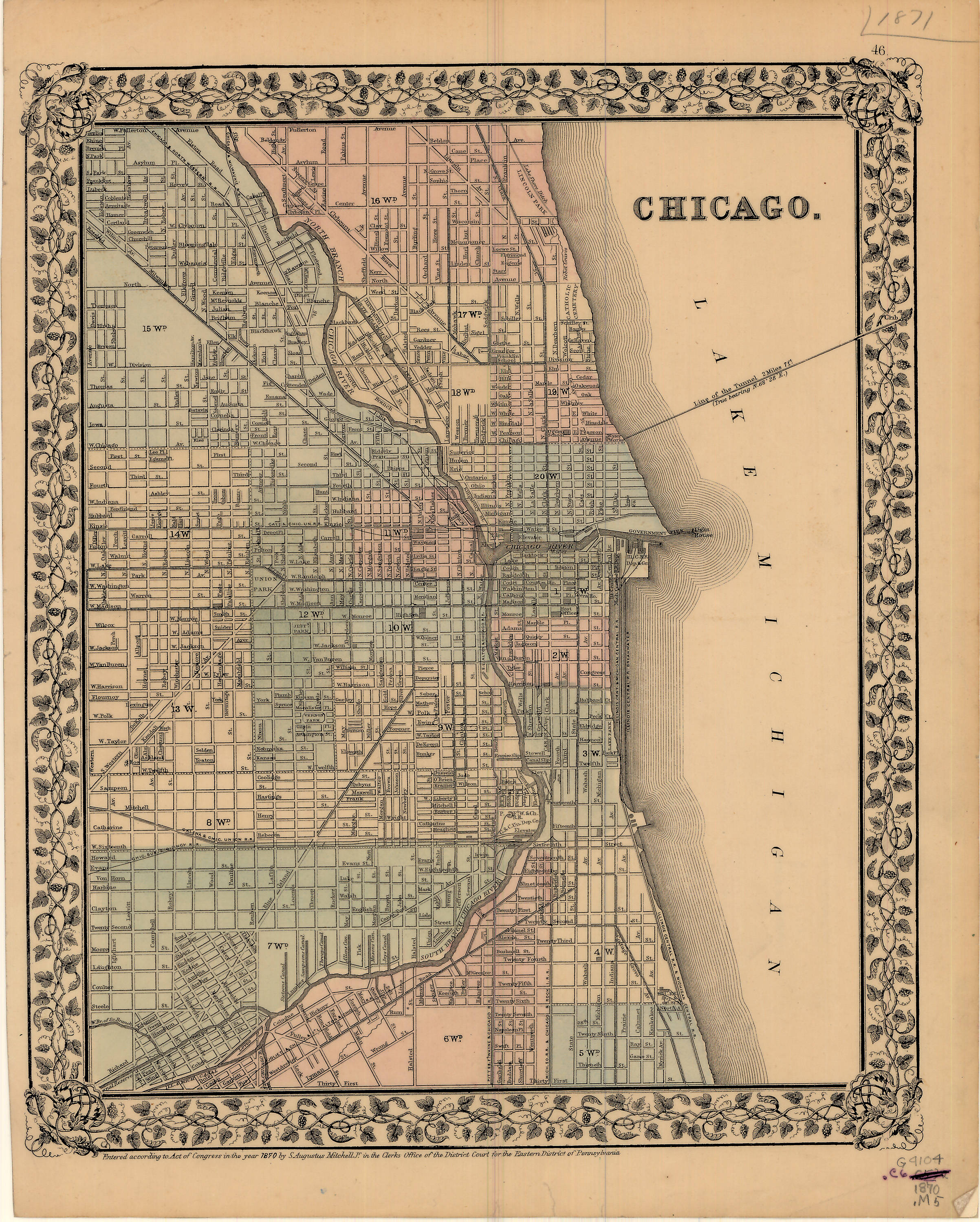
File:1870 Chicago map by Mitchell.jpg
Jump to navigation
Jump to search
Size of this preview: 481 × 600 pixels. Other resolutions: 192 × 240 pixels | 385 × 480 pixels | 616 × 768 pixels | 821 × 1,024 pixels | 2,405 × 3,000 pixels.
Original file (2,405 × 3,000 pixels, file size: 1.93 MB, MIME type: image/jpeg)
Captions
Captions
Add a one-line explanation of what this file represents
| Title |
Chicago |
||||
| Date | |||||
| Source | [1] | ||||
| Creator |
Mitchell, S. Augustus (Samuel Augustus), 1792-1868 |
||||
| Permission (Reusing this file) |
|
||||
| Geotemporal data | |||||
| Date depicted | |||||
| Map location | Chicago | ||||
| Scale | ca. 1:31,000 | ||||
| Georeferencing | If inappropriate please set warp_status = skip to hide. | ||||
| Bibliographic data | |||||
| Publisher |
Mitchell, S. Augustus (Samuel Augustus), 1792-1868 |
||||
| Archival data | |||||
| Collection | University of Illinois at Urbana-Champaign. Map and Geography Library | ||||
| Dimensions | height: 32 cm (12.5 in); width: 27 cm (10.6 in) | ||||
| Other versions | [2] | ||||
File history
Click on a date/time to view the file as it appeared at that time.
| Date/Time | Thumbnail | Dimensions | User | Comment | |
|---|---|---|---|---|---|
| current | 22:45, 15 August 2016 | | 2,405 × 3,000 (1.93 MB) | Scewing (talk | contribs) | {{Map |title =Chicago |description = |legend = |author =Mitchell, S. Augustus (Samuel Augustus), 1792-1868 |date =1870 |source =[http://imagesearchnew.library.illinois.edu/cdm/ref/collecti... |
You cannot overwrite this file.
File usage on Commons
The following page uses this file: