File:186Metro Manila Skyway Stage 4.jpg
Jump to navigation
Jump to search
Size of this preview: 800 × 600 pixels. Other resolutions: 320 × 240 pixels | 640 × 480 pixels | 1,024 × 768 pixels | 1,280 × 960 pixels | 2,560 × 1,920 pixels | 4,608 × 3,456 pixels.
Original file (4,608 × 3,456 pixels, file size: 6.58 MB, MIME type: image/jpeg)
Captions
Captions
Metro Manila Skyway Stage 3
Summary
[edit]
| Description |
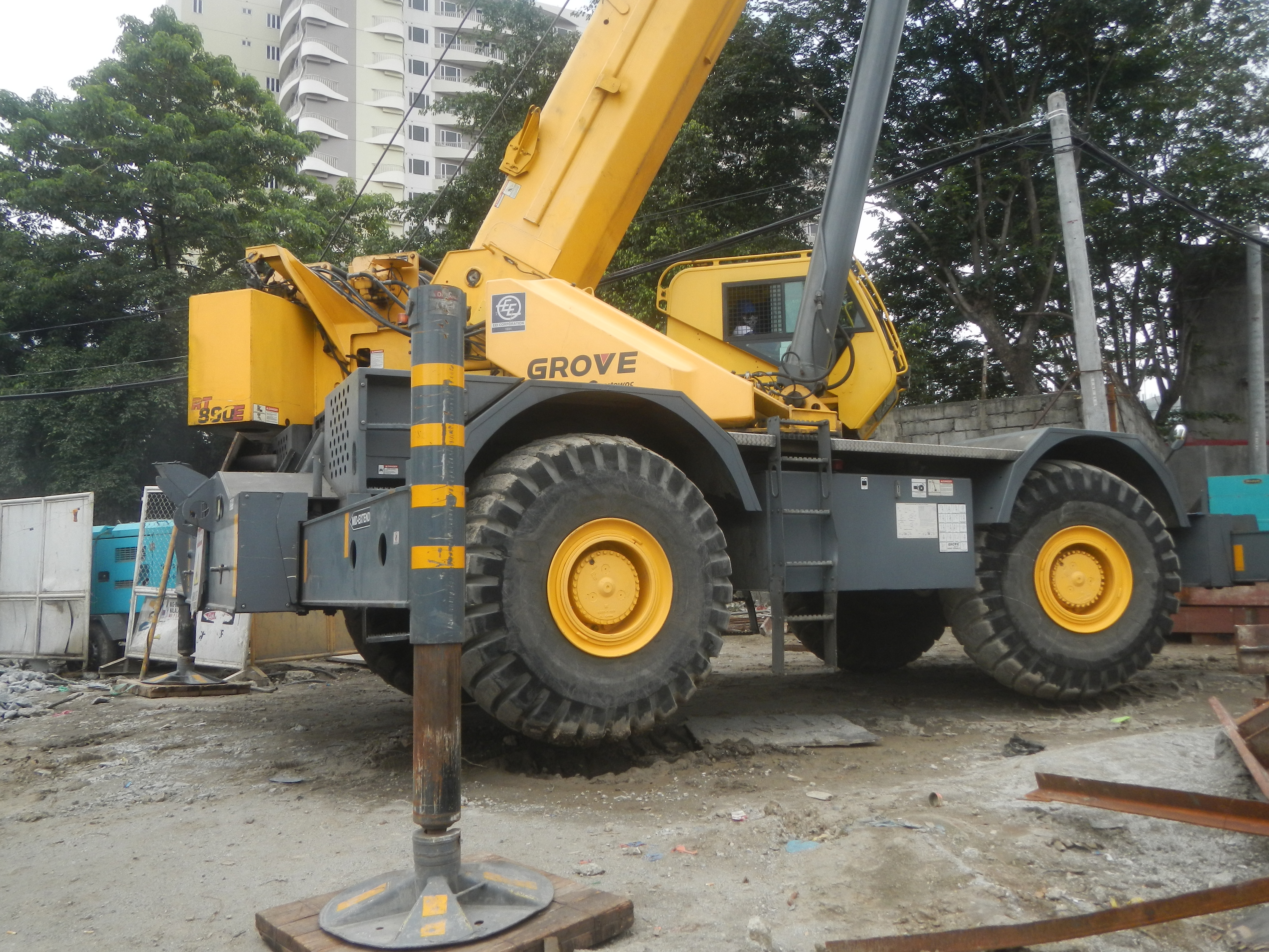
English: Cloudy skies due to monsoon and Tropical Depression Marilyn in Metro Manila Skyway Stage 3 Project Section 1 (C-3 Road, Sgt. Rivera Street - Banaue Street, San Jose & Pag-ibig sa Nayon to Manresa) Tropical Depression Marilyn Tropical Depression Marilyn Cloudy skies Skyway (Metro Manila) Metro Manila Skyway Stage 3 Skyway 3 interconnecting with North Luzon Expressway Segment 10.1 (Harbor Link, Phase II Manila, Caloocan City) constructions interconnecting with Circumferential Road 3 (Caloocan City section) Circumferential Road 3 Sgt. Rivera Avenue Skyway Stage 3 to partially open September, 2019 Skyway Stage 3 is an 18.68-kilometer elevated expressway stretched over Metro Manila from Buendia in Makati City to Balintawak, Quezon City; Barangay Pag-ibig sa Nayon C-3 road-Sgt. Rivera street - Skyway Stage 3 construction Junction-pedestrian footbridge (C-3 road-A. Bonifacio Avenue-Sgt. Rivera street - Skyway Stage 3 & NLEx Harbor Link 10.1 construction - Pag-ibig sa Nayon-San Jose, Quezon City & Caloocan) Andres Bonifacio Avenue, Quezon City Radial Road 8 List of barangays of Metro Manila, Legislative districts of Quezon City Districts 4, Barangays of Quezon City, Barangay Pag-ibig sa Nayon (A. Bonifacio), Quezon City 14.6468, 120.9937 San Jose 14°38'26"N 120°59'36"E to Manresa 14.6411, 120.9974 Quezon City interconnecting with C-3 Road-Sgt Rivera St. near cor A. Bonifacio Ave. (Quezon City) 14°38'38"N 120°59'39"E to Banawe Street 14°38'17"N 121°0'2"E to Terminus North Luzon Expressway, in Balintawak, Philippine highway network (Note: Judge Florentino Floro, the owner, to repeat, Donor Florentino Floro of all these photos hereby donate gratuitously, freely and unconditionally Judge Floro all these photos to and for Wikimedia Commons, exclusively, for public use of the public domain, and again without any condition whatsoever). |
| Date | |
| Source | Own work |
| Author | Judgefloro |
| Camera location | | View this and other nearby images on: OpenStreetMap |
|---|
Barangay Pag-ibig sa Nayon (A. Bonifacio), Quezon City 14.6468, 120.9937
Licensing
[edit]
I, the copyright holder of this work, hereby publish it under the following license:
| This file is made available under the Creative Commons CC0 1.0 Universal Public Domain Dedication. | |
| The person who associated a work with this deed has dedicated the work to the public domain by waiving all of their rights to the work worldwide under copyright law, including all related and neighboring rights, to the extent allowed by law. You can copy, modify, distribute and perform the work, even for commercial purposes, all without asking permission.
|
File history
Click on a date/time to view the file as it appeared at that time.
| Date/Time | Thumbnail | Dimensions | User | Comment | |
|---|---|---|---|---|---|
| current | 08:47, 12 September 2019 | | 4,608 × 3,456 (6.58 MB) | Judgefloro (talk | contribs) | User created page with UploadWizard |
You cannot overwrite this file.
File usage on Commons
There are no pages that use this file.