File:1863 Chicago map by Van Vechten.jpg
Jump to navigation
Jump to search

Size of this preview: 364 × 599 pixels. Other resolutions: 146 × 240 pixels | 291 × 480 pixels | 466 × 768 pixels | 622 × 1,024 pixels | 1,244 × 2,048 pixels | 14,746 × 24,269 pixels.
Original file (14,746 × 24,269 pixels, file size: 65.46 MB, MIME type: image/jpeg)
Captions
Captions
Add a one-line explanation of what this file represents
| Warning | The original file is very high-resolution. It might not load properly or could cause your browser to freeze when opened at full size. |
|---|
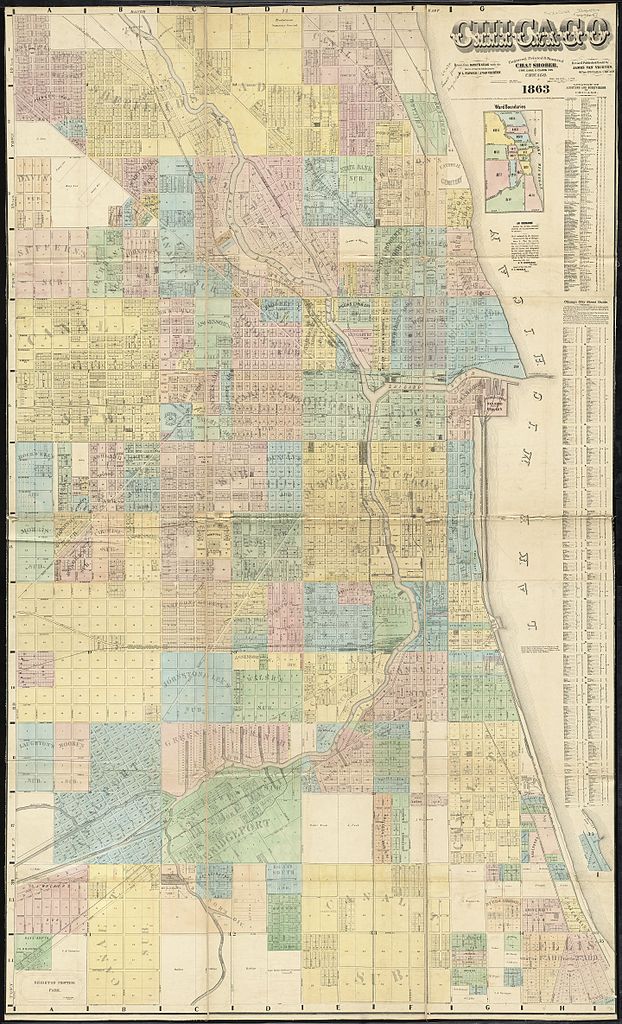
| Title |
Chicago |
||||||||||||||||||||||||||
| Date | |||||||||||||||||||||||||||
| Source | Norman B. Leventhal Map Center | ||||||||||||||||||||||||||
| Creator |
Van Vechten, J |
||||||||||||||||||||||||||
| Permission (Reusing this file) |
|
||||||||||||||||||||||||||
| Geotemporal data | |||||||||||||||||||||||||||
| Date depicted | |||||||||||||||||||||||||||
| Map location | Chicago | ||||||||||||||||||||||||||
| Scale | [1:6,000] | ||||||||||||||||||||||||||
| Georeferencing | If inappropriate please set warp_status = skip to hide. | ||||||||||||||||||||||||||
| Bibliographic data | |||||||||||||||||||||||||||
| Publisher |
Van Vechten, J |
||||||||||||||||||||||||||
| Archival data | |||||||||||||||||||||||||||
| Collection |
|
||||||||||||||||||||||||||
| Dimensions | height: 190 cm (74.8 in); width: 113 cm (44.4 in) | ||||||||||||||||||||||||||
| Other versions | [1], [2] | ||||||||||||||||||||||||||

File history
Click on a date/time to view the file as it appeared at that time.
| Date/Time | Thumbnail | Dimensions | User | Comment | |
|---|---|---|---|---|---|
| current | 18:00, 18 July 2016 | | 14,746 × 24,269 (65.46 MB) | Scewing (talk | contribs) | {{LargeImage}} {{Map |title =Chicago |description = |legend = |author =Van Vechten, J |date ={{date|1863}} |source =Norman B. Leventhal Map Center |permission ={{PD-old}} |map date... |
You cannot overwrite this file.
File usage on Commons
The following page uses this file: