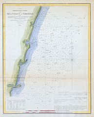
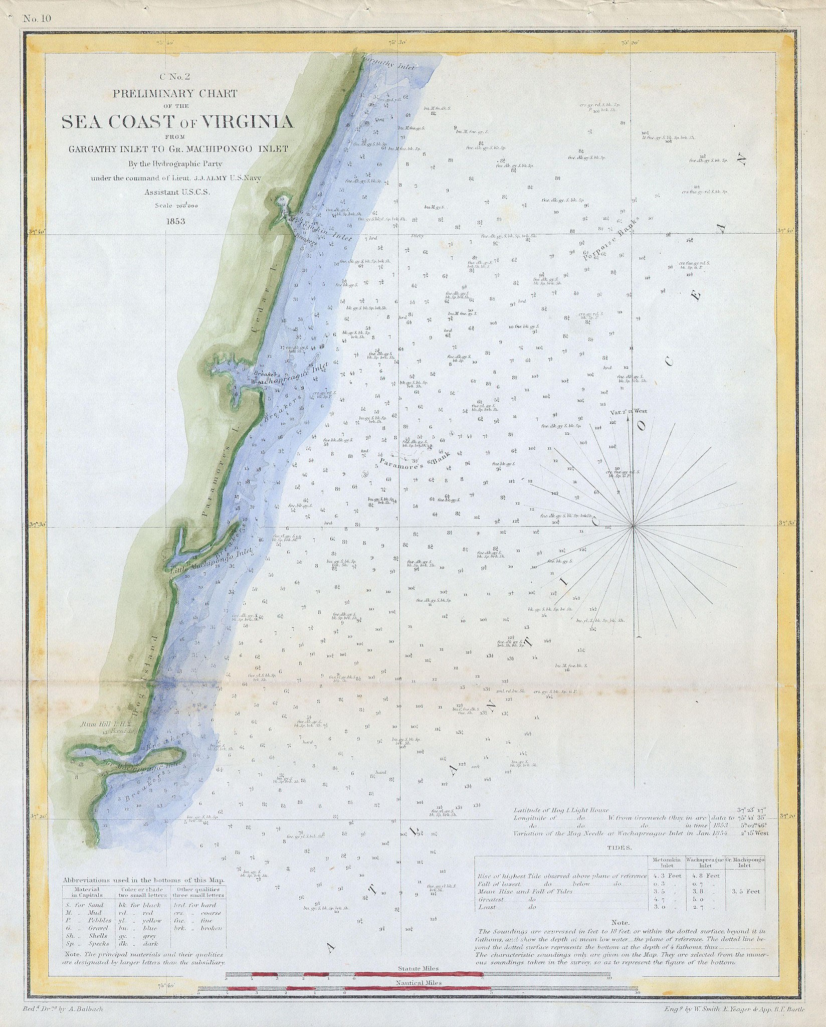
File:1853 U.S.C.S. Map of the Virginia Coast ( Gargathy to Machipongo ) - Geographicus - SeaCoastVirginiaNo2-uscs-1853.jpg

Original file (3,059 × 3,801 pixels, file size: 1.35 MB, MIME type: image/jpeg)
Captions
Captions
| Preliminary Sketch of the Sea Coast of Virginia from Gargathy Inlet to Gr. Machipongo Inlet. | ||||||
|---|---|---|---|---|---|---|
| Artist | ||||||
| Title |
Preliminary Sketch of the Sea Coast of Virginia from Gargathy Inlet to Gr. Machipongo Inlet. |
|||||
| Description |
English: Offered is a U.S. Coast Survey map or chart of the Virginia coastline from Gartathy Inlet to Gr. Machipongo Inlet. Includes several of Virginia’s barrier islands, specifically, Hog Island, Paramore’s Island, and Cedar Island. Numerous nautical notes and depth soundings dominate the right-hand side of the map. This map was created under the direction of A. D. Bache, Superintendent of the Survey of the Coast of the United States and one of the most influential American cartographers of the 19th century. |
|||||
| Date | 1853 | |||||
| Dimensions | height: 10 in (25.4 cm); width: 12 in (30.4 cm) | |||||
| Accession number |
Geographicus link: SeaCoastVirginiaNo2-uscs-1853 |
|||||
| Source/Photographer |
|
|||||
| Permission (Reusing this file) |
|
|||||
File history
Click on a date/time to view the file as it appeared at that time.
| Date/Time | Thumbnail | Dimensions | User | Comment | |
|---|---|---|---|---|---|
| current | 11:01, 16 March 2011 | | 3,059 × 3,801 (1.35 MB) | BotMultichill (talk | contribs) | {{subst:User:Multichill/Geographicus |link=http://www.geographicus.com/P/AntiqueMap/SeaCoastVirginiaNo2-uscs-1853 |product_name=1853 U.S.C.S. Map of the Virginia Coast ( Gargathy to Machipongo ) |map_title=Preliminary Sketch of the Sea Coast of Virginia f |
You cannot overwrite this file.
File usage on Commons
The following page uses this file:
_-_Geographicus_-_SeaCoastVirginiaNo2-uscs-1853.jpg)
_-_Geographicus_-_SeaCoastVirginiaNo2-uscs-1853.jpg&oldid=745846074)