File:1837 Malte-Brun Map of Africa in Ancient Times - Geographicus - AfricaAncient-mb-1837.jpg
Original file (2,211 × 1,671 pixels, file size: 562 KB, MIME type: image/jpeg)
Captions
Captions
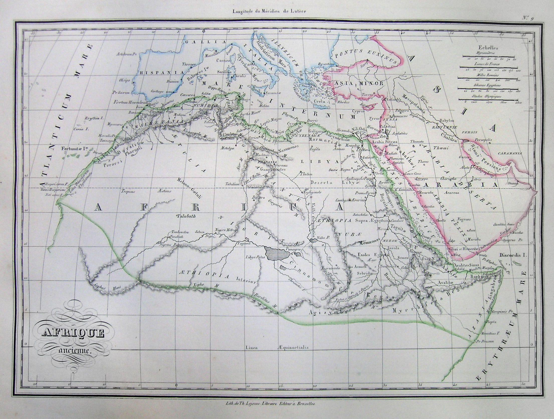
| Afrique Ancienne. | ||||||
|---|---|---|---|---|---|---|
| Artist | ||||||
| Title |
Afrique Ancienne. |
|||||
| Description |
English: This is a beautiful 1837 hand colored map northern Africa in Ancient times. Depicts the various ancient kingdoms as well as offering good detail of the deserts – some of which is entirely mythological. All text is in French. |
|||||
| Date | 1837 | |||||
| Dimensions | height: 9 in (22.8 cm); width: 12 in (30.4 cm) | |||||
| Accession number |
Geographicus link: AfricaAncient-mb-1837 |
|||||
| Source/Photographer |
|
|||||
| Permission (Reusing this file) |
|
|||||
File history
Click on a date/time to view the file as it appeared at that time.
| Date/Time | Thumbnail | Dimensions | User | Comment | |
|---|---|---|---|---|---|
| current | 11:15, 16 March 2011 | | 2,211 × 1,671 (562 KB) | BotMultichill (talk | contribs) | {{subst:User:Multichill/Geographicus |link=http://www.geographicus.com/P/AntiqueMap/AfricaAncient-mb-1837 |product_name=1837 Malte-Brun Map of Africa in Ancient Times |map_title=Afrique Ancienne. |description=This is a beautiful 1837 hand colored map no |
You cannot overwrite this file.
File usage on Commons
The following page uses this file: