File:1836 Malte-brun Map of Russia in Asia and Siberia - Geographicus - Siberie-mb-1836.jpg
Original file (3,000 × 2,275 pixels, file size: 1.46 MB, MIME type: image/jpeg)
Captions
Captions
| Carte de la Siberie ou Russie d’Asie Septentrionale. 1836.. | ||||||
|---|---|---|---|---|---|---|
| Artist | ||||||
| Title |
Carte de la Siberie ou Russie d’Asie Septentrionale. 1836.. |
|||||
| Description |
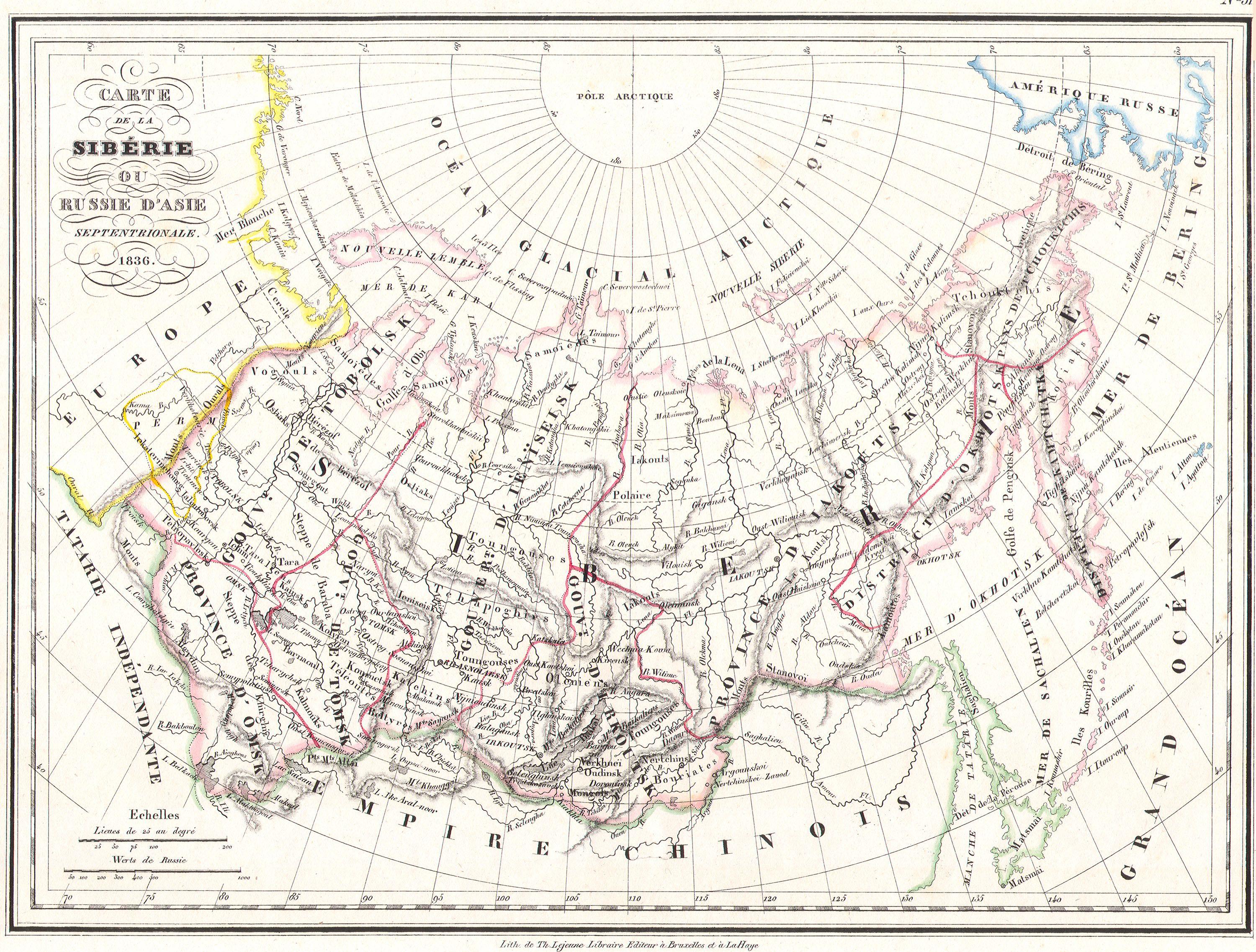
English: This unusual 1836 map by V. A. Malte-brun depicts Russia in Asia or Siberia. Depicts from the Ural mountains east as far as the Bering Strait and Alaska and as far south as the Chinese Empire. All text in French. |
|||||
| Date | 1836 | |||||
| Dimensions | height: 9 in (22.8 cm); width: 11.5 in (29.2 cm) | |||||
| Accession number |
Geographicus link: Siberie-mb-1836 |
|||||
| Source/Photographer |
|
|||||
| Permission (Reusing this file) |
|
|||||
File history
Click on a date/time to view the file as it appeared at that time.
| Date/Time | Thumbnail | Dimensions | User | Comment | |
|---|---|---|---|---|---|
| current | 10:52, 16 March 2011 | | 3,000 × 2,275 (1.46 MB) | BotMultichill (talk | contribs) | {{subst:User:Multichill/Geographicus |link=http://www.geographicus.com/P/AntiqueMap/Siberie-mb-1836 |product_name=1836 Malte-brun Map of Russia in Asia and Siberia |map_title=Carte de la Siberie ou Russie d’Asie Septentrionale. 1836.. |description=Thi |
You cannot overwrite this file.
File usage on Commons
The following page uses this file: