File:1806 map NewburyportMA byWilliamHooker.png
Jump to navigation
Jump to search
No higher resolution available.
1806_map_NewburyportMA_byWilliamHooker.png (776 × 448 pixels, file size: 267 KB, MIME type: image/png)
Captions
Captions
Add a one-line explanation of what this file represents
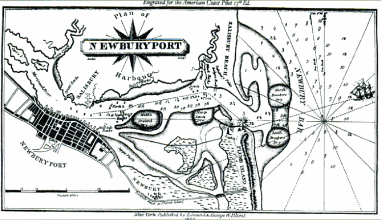
| Description | map of Newburyport, Massachusetts |
| Date | circa 1806 |
| Source | John Hardy Wright. Newburyport. Portsmouth, NH: Arcadia, 1999 |
| Author | William Hooker |
|
This work is in the public domain in its country of origin and other countries and areas where the copyright term is the author's life plus 70 years or fewer. | |
| This file has been identified as being free of known restrictions under copyright law, including all related and neighboring rights. | |
File history
Click on a date/time to view the file as it appeared at that time.
| Date/Time | Thumbnail | Dimensions | User | Comment | |
|---|---|---|---|---|---|
| current | 19:55, 27 October 2011 | | 776 × 448 (267 KB) | M2545 (talk | contribs) | {{Information |Description=map of Newburyport, Massachusetts |Source=John Hardy Wright. Newburyport. Portsmouth, NH: Arcadia, 1999 |Date=ca.1806 |Author=William Hooker |Permission= |other_versions= }} Category:Newburyport, Massachusetts {{PD-Old}} [[ |
You cannot overwrite this file.
File usage on Commons
There are no pages that use this file.