File:1800 Rotterdam detail of map United Provinces of Holland by Carey BPL 12323.png
Jump to navigation
Jump to search

Size of this preview: 799 × 599 pixels. Other resolutions: 320 × 240 pixels | 640 × 480 pixels | 997 × 748 pixels.
Original file (997 × 748 pixels, file size: 1.43 MB, MIME type: image/png)
Captions
Captions
Add a one-line explanation of what this file represents
| Description |
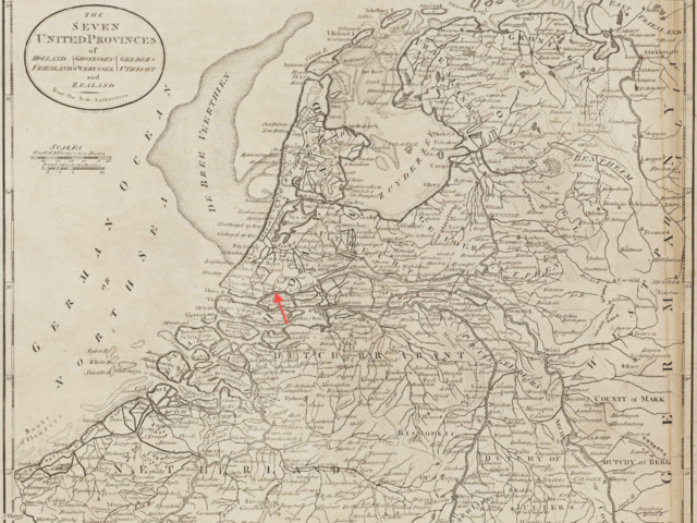
Detail of: The seven United provinces of Holland, Groningen, Gelders, Friesland, Overyssel, Utrecht and Zealand from the best authorities Author: Carey, Mathew Publisher: Carey, Mathew Date: 1800 Dimension 29 x 34 cm. |
| Date | |
| Source | Boston Public Library, Map Center / http://maps.bpl.org/id/12323 |
| Author | Mathew Carey |
|
This work is in the public domain in its country of origin and other countries and areas where the copyright term is the author's life plus 100 years or fewer. | |
| This file has been identified as being free of known restrictions under copyright law, including all related and neighboring rights. | |
File history
Click on a date/time to view the file as it appeared at that time.
| Date/Time | Thumbnail | Dimensions | User | Comment | |
|---|---|---|---|---|---|
| current | 12:52, 30 November 2012 | | 997 × 748 (1.43 MB) | M2545 (talk | contribs) | {{Information |Description=Detail of: The seven United provinces of Holland, Groningen, Gelders, Friesland, Overyssel, Utrecht and Zealand from the best authorities Author: Carey, Mathew Publisher: Carey, Mathew Date: 1800 Dimension 29 x 34 cm. |S... |
You cannot overwrite this file.
File usage on Commons
There are no pages that use this file.