File:1794 J. B. B. D'Anville Map of Asia Minor in Antiquity (Turkey, Cyprus, Syria).jpg
Jump to navigation
Jump to search

Size of this preview: 727 × 599 pixels. Other resolutions: 291 × 240 pixels | 582 × 480 pixels | 932 × 768 pixels | 1,242 × 1,024 pixels | 2,484 × 2,048 pixels | 5,000 × 4,122 pixels.
Original file (5,000 × 4,122 pixels, file size: 5.96 MB, MIME type: image/jpeg)
Captions
Captions
Add a one-line explanation of what this file represents
| Asiae, quae vulgo Minor dicitur, et Syriae tabula geographica quantum per subsidia licuit elaborata, opere, si quod aliud in antiqua geographia, arduo. Quam tabulam Clariss. Dom. Comes de Caylus in aere incidi curavit. | ||||||
|---|---|---|---|---|---|---|
| Artist |
Jean-Baptiste Bourguignon d'Anville |
|||||
| Title |
Asiae, quae vulgo Minor dicitur, et Syriae tabula geographica quantum per subsidia licuit elaborata, opere, si quod aliud in antiqua geographia, arduo. Quam tabulam Clariss. Dom. Comes de Caylus in aere incidi curavit. |
|||||
| Description |
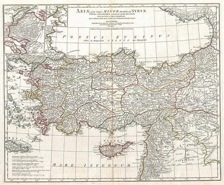
English: A large and dramatic J. B. B. D'Anville map of Asia Minor in antiquity. Covers from Greece (Graecia) and the Aegean Sea eastward to include all of Asia Minor as far as Armenia. Extends south as far as the ancient city of Sidon in modern day Lebanon. Includes the modern day nations of Turkey, Syria, Cyprus and Lebanon, along with parts of adjacent Greece and Armenia. Details mountains, rivers, cities, roadways, and lakes with political divisions highlighted in outline color. Title area appears at top center. Includes six distance scales, bottom left, referencing various measurement systems common in antiquity. Text in Latin and English. Drawn by J. B. B. D'Anville in 1764 and published in 1794 by Laurie and Whittle, London. |
|||||
| Date | 1764 (dated); published 1794 | |||||
| Dimensions | height: 20 in (50.8 cm); width: 24.5 in (62.2 cm) | |||||
| Accession number |
Geographicus link: AsiaMinor-anville-1794 |
|||||
| Source/Photographer |
D'Anville, J. B. B., Complete Body of Ancient Geography, Laurie and Whittle, London, 1795.
|
|||||
| Permission (Reusing this file) |
|
|||||
File history
Click on a date/time to view the file as it appeared at that time.
| Date/Time | Thumbnail | Dimensions | User | Comment | |
|---|---|---|---|---|---|
| current | 14:23, 23 March 2011 | | 5,000 × 4,122 (5.96 MB) | BotMultichillT (talk | contribs) | {{subst:User:Multichill/Geographicus |link=http://www.geographicus.com/P/AntiqueMap/AsiaMinor-anville-1794 |product_name=1794 Anville Map of Asia Minor in Antiquity (Turkey,Cyprus, Syria) |map_title=Asiae, quae vulgo Minor dicitur, et Syriae tabula geogr |
You cannot overwrite this file.
File usage on Commons
The following 2 pages use this file:
_-_Geographicus_-_AsiaMinor-anville-1794.jpg&redirect=no)
.jpg)
File usage on other wikis
The following other wikis use this file:
- Usage on en.wikipedia.org
- Usage on fr.wikipedia.org
- Usage on hy.wikipedia.org
.jpg&oldid=763228958)