File:1772 Dahl, Kirche, Haus Dahl, Volme.png
Jump to navigation
Jump to search
Size of this preview: 800 × 447 pixels. Other resolutions: 320 × 179 pixels | 640 × 358 pixels | 1,024 × 573 pixels | 1,543 × 863 pixels.
Original file (1,543 × 863 pixels, file size: 2.26 MB, MIME type: image/png)
Captions
Captions
Add a one-line explanation of what this file represents
Summary
[edit]
| Description | |
| Date | |
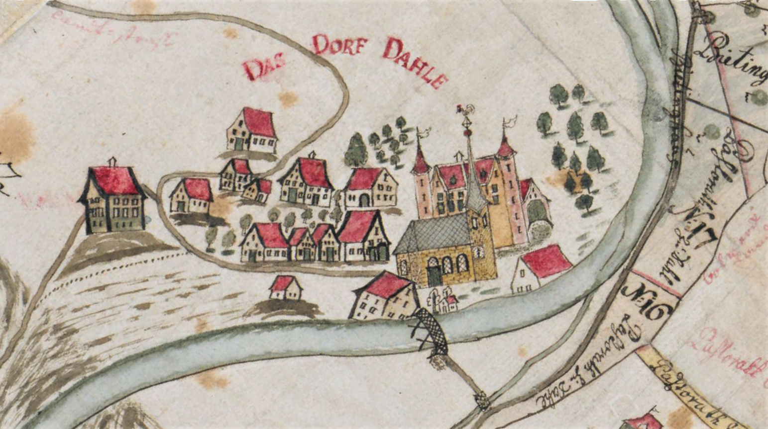
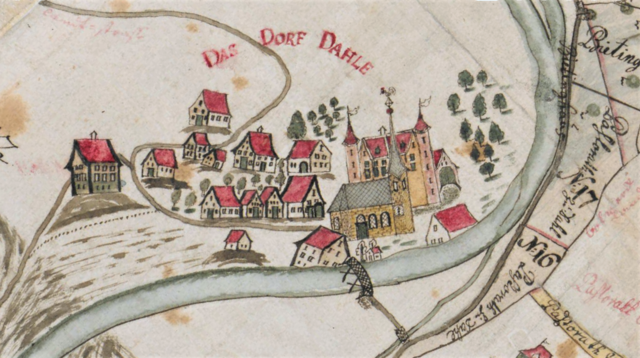
| Source | Landesarchiv NRW Abteilung Westfalen W 051 / Karten A (Allgemein), Nr 6918, 1772 |
| Author | Johann Peter Hobraeck |
Licensing
[edit]
|
This work is in the public domain in its country of origin and other countries and areas where the copyright term is the author's life plus 100 years or fewer. This work is in the public domain in the United States because it was published (or registered with the U.S. Copyright Office) before January 1, 1929. | |
| This file has been identified as being free of known restrictions under copyright law, including all related and neighboring rights. | |
File history
Click on a date/time to view the file as it appeared at that time.
| Date/Time | Thumbnail | Dimensions | User | Comment | |
|---|---|---|---|---|---|
| current | 15:03, 16 May 2021 | | 1,543 × 863 (2.26 MB) | Bärwinkel,Klaus (talk | contribs) | {{Information |Description={{de|1=Ausschnitt aus der Karte „Teilung der Kuhweider Mark“ von 1772. Kolorierte Zeichnung von Johann Peter Hobraeck. Im Volmebogen das Dorf Dahl mit der Kirche und dem Adelssitz Haus Dahl (2 Türme). }} |Source=Landesarchiv NRW Abt. Westfalen – DFG-Viewer |Date=1772 |Author=Landesarchiv NRW Abteilung Westfalen W 051 / Karten A (Allgemein), Nr 6918, 1772 |Permission= |other_versions= }} == {{int:license}} == {{free scre... |
You cannot overwrite this file.
File usage on Commons
There are no pages that use this file.