File:1748 Seale Map of the Pacific Ocean w- Trade Routes from Acapulco to Manila - Geographicus - Pacific-seale-1743.jpg
Jump to navigation
Jump to search
Size of this preview: 800 × 272 pixels. Other resolutions: 320 × 109 pixels | 640 × 217 pixels | 1,024 × 348 pixels | 1,280 × 435 pixels | 5,000 × 1,698 pixels.
Original file (5,000 × 1,698 pixels, file size: 1.64 MB, MIME type: image/jpeg)
Captions
Captions
Add a one-line explanation of what this file represents
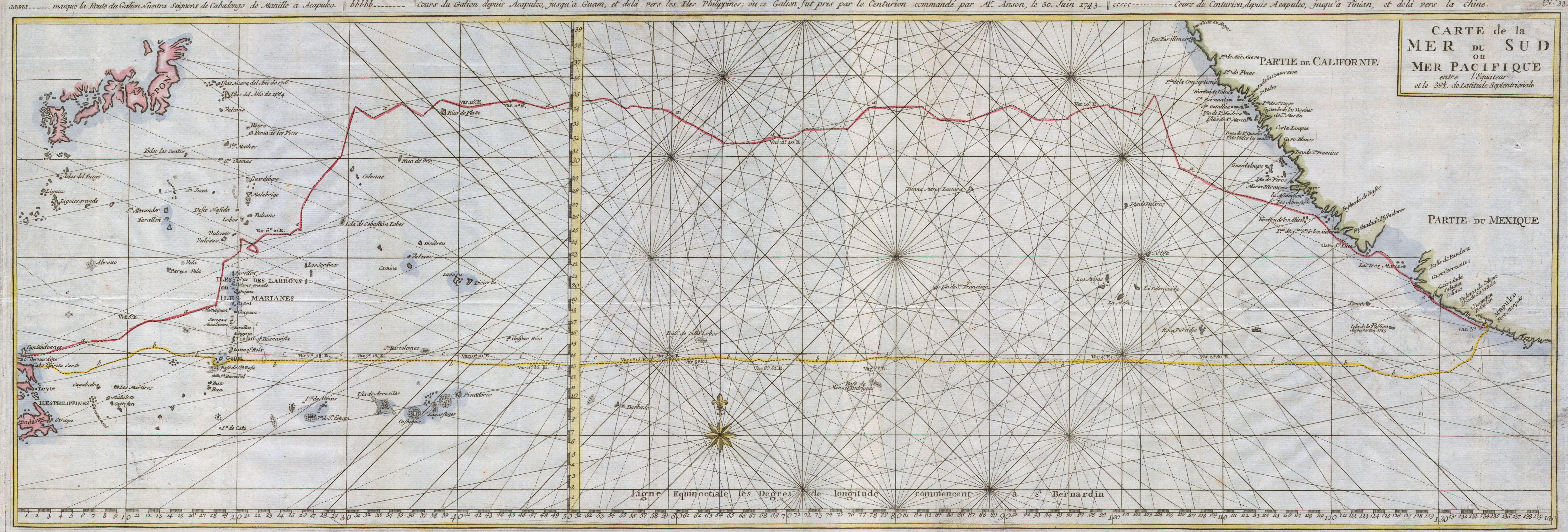
| Carte de la Mer du Sud ou Mer Pacifique. | ||||||
|---|---|---|---|---|---|---|
| Artist | ||||||
| Title |
Carte de la Mer du Sud ou Mer Pacifique. |
|||||
| Description |
English: This is a rare nautical chart of the Pacific ocean by the English map publisher R. W. Seale.
|
|||||
| Date | 1748 (undated) | |||||
| Dimensions | height: 11.5 in (29.2 cm); width: 34 in (86.3 cm) | |||||
| Accession number |
Geographicus link: Pacific-seale-1743 |
|||||
| Source/Photographer |
French edition of Anson’s 1748 book A Voyage Round The World, In the Years MDCCXL, I, II, III, IV
|
|||||
| Permission (Reusing this file) |
|
|||||
File history
Click on a date/time to view the file as it appeared at that time.
| Date/Time | Thumbnail | Dimensions | User | Comment | |
|---|---|---|---|---|---|
| current | 11:22, 24 March 2011 | 5,000 × 1,698 (1.64 MB) | BotMultichillT (talk | contribs) | {{subst:User:Multichill/Geographicus |link=http://www.geographicus.com/P/AntiqueMap/Pacific-seale-1743 |product_name=1748 Seale Map of the Pacific Ocean w/ Trade Routes from Acapulco to Manila |map_title=Carte de la Mer du Sud ou Mer Pacifique. |descripti |
You cannot overwrite this file.
File usage on Commons
The following page uses this file: