File:1746 map - Nouvelle Carte de la Mer Mediterranee Juscques au Cap S. Vincent et Cap Cantin.jpg
Jump to navigation
Jump to search

Size of this preview: 800 × 285 pixels. Other resolutions: 320 × 114 pixels | 640 × 228 pixels | 1,024 × 365 pixels | 1,280 × 456 pixels | 2,560 × 912 pixels | 18,800 × 6,694 pixels.
Original file (18,800 × 6,694 pixels, file size: 31.61 MB, MIME type: image/jpeg)
Captions
Captions
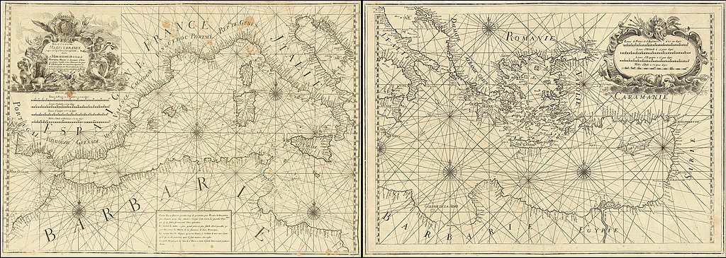
1746 map - Nouvelle Carte de la Mer Mediterranee Juscques au Cap S. Vincent et Cap Cantin
Summary
[edit]
| Warning | The original file is very high-resolution. It might not load properly or could cause your browser to freeze when opened at full size. |
|---|
| Description |
English: 1746 map - Nouvelle Carte de la Mer Mediterranee Juscques au Cap S. Vincent et Cap Cantin |
| Date | |
| Source | https://www.raremaps.com/gallery/detail/35686dc/nouvelle-carte-de-la-mer-mediterranee-juscques-au-cap-s-vin-olivier |
| Author | Francois Olivier |
Licensing
[edit]
|
This work is in the public domain in its country of origin and other countries and areas where the copyright term is the author's life plus 70 years or fewer. This work is in the public domain in the United States because it was published (or registered with the U.S. Copyright Office) before January 1, 1929. | |
| This file has been identified as being free of known restrictions under copyright law, including all related and neighboring rights. | |
File history
Click on a date/time to view the file as it appeared at that time.
| Date/Time | Thumbnail | Dimensions | User | Comment | |
|---|---|---|---|---|---|
| current | 20:25, 20 February 2020 | 18,800 × 6,694 (31.61 MB) | Balkanique (talk | contribs) | User created page with UploadWizard |
You cannot overwrite this file.
File usage on Commons
There are no pages that use this file.