File:140823-Ustanow-aerial-1.jpg
From Wikimedia Commons, the free media repository
Jump to navigation
Jump to search
![File:140823-Ustanow-aerial-1.jpg](https://upload.wikimedia.org/wikipedia/commons/thumb/7/74/140823-Ustanow-aerial-1.jpg/800px-140823-Ustanow-aerial-1.jpg?20140826073829)
Size of this preview: 800 × 600 pixels. Other resolutions: 320 × 240 pixels | 640 × 480 pixels | 1,024 × 768 pixels | 1,280 × 960 pixels | 1,920 × 1,440 pixels.
Original file (1,920 × 1,440 pixels, file size: 623 KB, MIME type: image/jpeg)
File information
Structured data
Captions
Captions
Add a one-line explanation of what this file represents
Summary
[edit]Description140823-Ustanow-aerial-1.jpg |
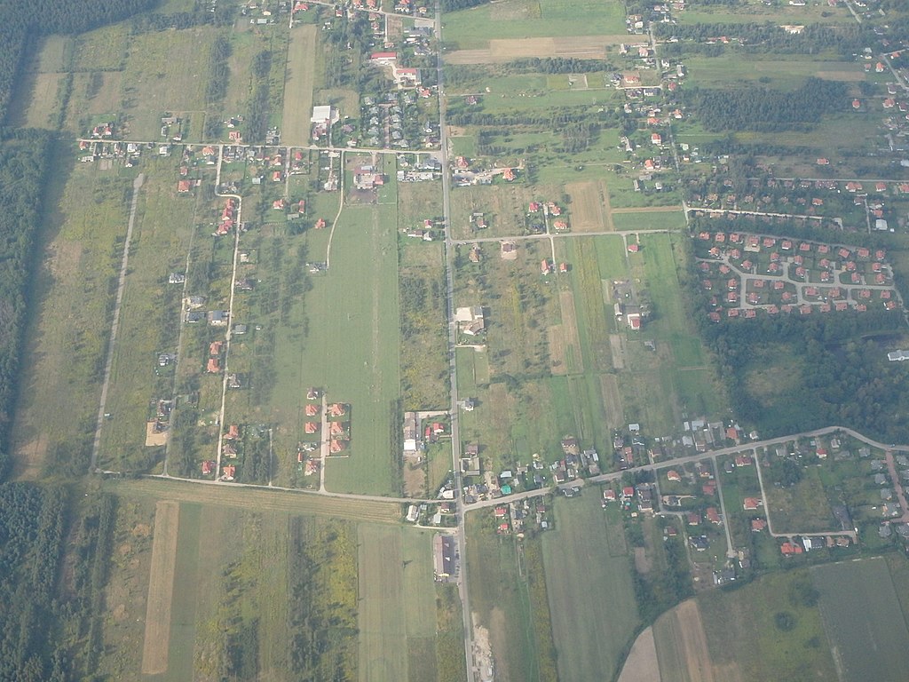
English: aerial photo of Ustanów (coordinates refer to road crossing in the bottom)
Polski: Ustanów - zdjęcie lotnicze (podana pozycja dotyczy skrzyżowania widocznego w dolnej części) |
Date | |
Source | Own work |
Author | Krzysztof Maria Różański (Upior polnocy) |
Permission (Reusing this file) |
I, the copyright holder of this work, hereby publish it under the following license: ![]() ![]() ![]() This file is licensed under the Creative Commons Attribution-Share Alike 3.0 Unported license.
|
Camera location | 52° 00′ 00.27″ N, 21° 02′ 17.57″ E ![]() | View this and other nearby images on: OpenStreetMap | ![]() |
---|
File history
Click on a date/time to view the file as it appeared at that time.
Date/Time | Thumbnail | Dimensions | User | Comment | |
---|---|---|---|---|---|
current | 07:38, 26 August 2014 | ![]() | 1,920 × 1,440 (623 KB) | Upior polnocy (talk | contribs) | {{Information |Description ={{en|1=aerial photo of Ustanów (coordinates refer to road crossing in the bottom)}} {{pl|1=Ustanów - zdjęcie lotnicze (podana pozycja dotyczy skrzyżowania widocznego w dolnej części)}} |Source ={{own}} |Auth... |
You cannot overwrite this file.
File usage on Commons
There are no pages that use this file.
File usage on other wikis
The following other wikis use this file:
Metadata
This file contains additional information such as Exif metadata which may have been added by the digital camera, scanner, or software program used to create or digitize it. If the file has been modified from its original state, some details such as the timestamp may not fully reflect those of the original file. The timestamp is only as accurate as the clock in the camera, and it may be completely wrong.
Image title | OLYMPUS DIGITAL CAMERA |
---|---|
Camera manufacturer | OLYMPUS IMAGING CORP. |
Camera model | TG-830 |
Author | Krzysztof Maria Rozanski |
Exposure time | 1/400 sec (0.0025) |
F-number | f/5.1 |
ISO speed rating | 400 |
Date and time of data generation | 15:28, 23 August 2014 |
Lens focal length | 10 mm |
Latitude | 52° 14′ 31.69″ N |
Longitude | 5° 44′ 33.99″ E |
Orientation | Normal |
Horizontal resolution | 72 dpi |
Vertical resolution | 72 dpi |
Software used | Version 1.0 |
File change date and time | 15:28, 23 August 2014 |
Y and C positioning | Co-sited |
Exposure Program | Creative program (biased toward depth of field) |
Exif version | 2.3 |
Date and time of digitizing | 15:28, 23 August 2014 |
Meaning of each component |
|
APEX exposure bias | 0 |
Maximum land aperture | 3.93 APEX (f/3.9) |
Metering mode | Pattern |
Light source | Unknown |
Flash | Flash did not fire, auto mode |
Supported Flashpix version | 1 |
Color space | sRGB |
File source | Digital still camera |
Custom image processing | Normal process |
Exposure mode | Auto exposure |
White balance | Auto white balance |
Digital zoom ratio | 0 |
Focal length in 35 mm film | 56 mm |
Scene capture type | Standard |
Scene control | High gain up |
Contrast | Normal |
Saturation | Normal |
Sharpness | Normal |
Receiver status | Measurement in progress |
Reference for direction of image | Magnetic direction |
Direction of image | 9.54 |
Name of GPS area | Meerveld |
GPS tag version | 0.0.3.2 |