File:13-10-05-praha-50mm-RalfR-01.jpg
From Wikimedia Commons, the free media repository
Jump to navigation
Jump to search
Size of this preview: 398 × 599 pixels. Other resolutions: 159 × 240 pixels | 319 × 480 pixels | 510 × 768 pixels | 680 × 1,024 pixels | 1,360 × 2,048 pixels | 2,848 × 4,288 pixels.
Original file (2,848 × 4,288 pixels, file size: 12.91 MB, MIME type: image/jpeg)
File information
Structured data
Captions
Summary
[edit]Description13-10-05-praha-50mm-RalfR-01.jpg |
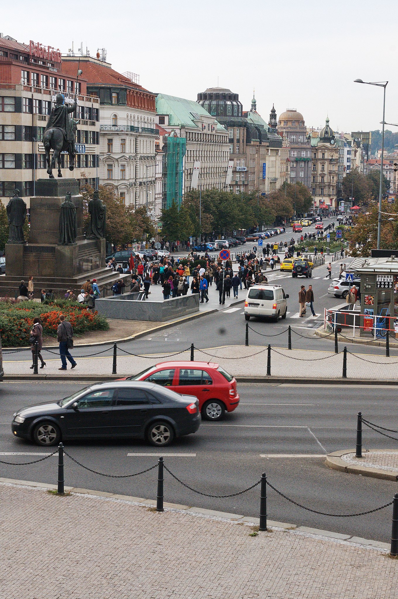
Deutsch: Prag, Innenstadt
15:25 Uhr: Wenzelsplatz, hier ist immer was los |
|||||||||||||||||||||||
Date | ||||||||||||||||||||||||
Source | Own work | |||||||||||||||||||||||
Author |
creator QS:P170,Q15080600
|
Camera location | 50° 04′ 46.1″ N, 14° 25′ 50.8″ E | View this and other nearby images on: OpenStreetMap | 50.079472; 14.430778 |
---|
Licensing
[edit]Ralf Roletschek
(1963–) |
|||
---|---|---|---|
Description | German civil engineer and photographer | ||
Date of birth | 1963 | ||
Location of birth | Eberswalde | ||
Work period | from 1979 date QS:P,+1979-00-00T00:00:00Z/7,P580,+1979-00-00T00:00:00Z/9 | ||
Work location |
Barcelona, Wien, Eberswalde | ||
Authority file |
creator QS:P170,Q15080600
Permission is granted to copy, distribute and/or modify this document under the terms of the GNU Free Documentation License, Version 1.2 only as published by the Free Software Foundation; with no Invariant Sections, no Front-Cover Texts, and no Back-Cover Texts. A copy of the license is included in the section entitled GNU Free Documentation License. | 1.2 onlyhttp://www.gnu.org/licenses/old-licenses/fdl-1.2.htmlGFDL 1.2GNU Free Documentation License 1.2truetrue |
File history
Click on a date/time to view the file as it appeared at that time.
Date/Time | Thumbnail | Dimensions | User | Comment | |
---|---|---|---|---|---|
current | 11:03, 7 October 2013 | 2,848 × 4,288 (12.91 MB) | Ralf Roletschek (talk | contribs) |
You cannot overwrite this file.
File usage on Commons
The following page uses this file:
Metadata
This file contains additional information such as Exif metadata which may have been added by the digital camera, scanner, or software program used to create or digitize it. If the file has been modified from its original state, some details such as the timestamp may not fully reflect those of the original file. The timestamp is only as accurate as the clock in the camera, and it may be completely wrong.
Camera manufacturer | NIKON CORPORATION |
---|---|
Camera model | NIKON D300S |
Author | Ralf Roletschek |
Copyright holder | (C) Ralf Roletschek |
Exposure time | 1/400 sec (0.0025) |
F-number | f/10 |
ISO speed rating | 800 |
Date and time of data generation | 15:25, 5 October 2013 |
Lens focal length | 50 mm |
User comments | Foto by Marcela |
Latitude | 50° 4′ 46.1″ N |
Longitude | 14° 25′ 50.8″ E |
Altitude | 229 meters above sea level |
Orientation | Normal |
Horizontal resolution | 300 dpi |
Vertical resolution | 300 dpi |
Software used | ACD Systems digitalen Bildverarbeitung |
File change date and time | 13:13, 6 October 2013 |
Y and C positioning | Centered |
Pair of black and white reference values |
|
Exposure Program | Normal program |
Date and time of digitizing | 15:25, 5 October 2013 |
APEX exposure bias | 0 |
Maximum land aperture | 3 APEX (f/2.83) |
Metering mode | Pattern |
Light source | Unknown |
Flash | Flash did not fire |
DateTime subseconds | 259 |
DateTimeOriginal subseconds | 58 |
DateTimeDigitized subseconds | 58 |
Sensing method | One-chip color area sensor |
File source | Digital still camera |
Scene type | A directly photographed image |
Custom image processing | Normal process |
Exposure mode | Auto exposure |
White balance | Auto white balance |
Digital zoom ratio | 1 |
Focal length in 35 mm film | 75 mm |
Scene capture type | Standard |
Scene control | Low gain up |
Contrast | Normal |
Saturation | Normal |
Sharpness | Normal |
Subject distance range | Unknown |
GPS time (atomic clock) | 14:25 |
Satellites used for measurement | 06 |
Reference for direction of image | Magnetic direction |
Direction of image | 269.95 |
Geodetic survey data used | WGS 84 |
GPS date | 5 October 2013 |
GPS tag version | 0.0.2.2 |