File:1141 Monnickendam, Netherlands - panoramio.jpg
Jump to navigation
Jump to search

Size of this preview: 800 × 508 pixels. Other resolutions: 320 × 203 pixels | 640 × 406 pixels | 1,024 × 650 pixels | 1,280 × 813 pixels | 2,048 × 1,300 pixels.
Original file (2,048 × 1,300 pixels, file size: 635 KB, MIME type: image/jpeg)
Captions
Captions
Add a one-line explanation of what this file represents
Summary
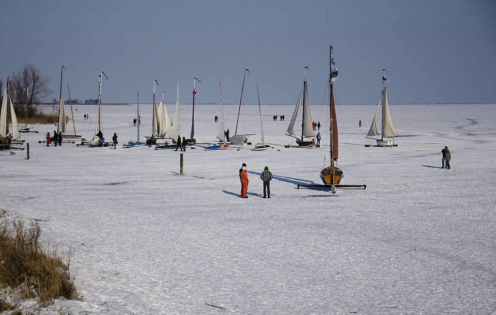
[edit]| Description | 1141 Monnickendam, Netherlands | ||
| Date | Taken on 11 February 2012 | ||
| Source | https://web.archive.org/web/20161024202159/http://www.panoramio.com/photo/70262393 | ||
| Author | Arwin Meijer | ||
| Permission (Reusing this file) |
This file is licensed under the Creative Commons Attribution-Share Alike 3.0 Unported license. Attribution: Arwin Meijer
|
||
| Tags (from Panoramio photo page) | Monnickendam, 2012, Amsterdam, IJsselmeer, IJsselmeerdijk, Monnickendam, Nederland, Noord-Holland, Oosthuizen, Warder, Zuiderwoude |
| Camera location | | View this and other nearby images on: OpenStreetMap |
|---|

File history
Click on a date/time to view the file as it appeared at that time.
| Date/Time | Thumbnail | Dimensions | User | Comment | |
|---|---|---|---|---|---|
| current | 14:01, 28 December 2016 | | 2,048 × 1,300 (635 KB) | Panoramio upload bot (talk | contribs) | == {{int:filedesc}} == {{Information |description=1141 Monnickendam, Netherlands |date={{Taken on|2012-02-11}} |source=http://www.panoramio.com/photo/70262393 |author=[http://www.panoramio.com/user/1268212?with_photo_id=70262393 Arwin Meijer] |permissi... |
You cannot overwrite this file.
File usage on Commons
There are no pages that use this file.
File usage on other wikis
The following other wikis use this file:
- Usage on fr.wikipedia.org