File:106289 nahariya - hagaton estuary PikiWiki Israel.jpg
Jump to navigation
Jump to search

Size of this preview: 800 × 600 pixels. Other resolutions: 320 × 240 pixels | 640 × 480 pixels | 1,024 × 768 pixels | 1,280 × 960 pixels | 2,560 × 1,920 pixels | 4,032 × 3,024 pixels.
Original file (4,032 × 3,024 pixels, file size: 2.32 MB, MIME type: image/jpeg)
Captions
Captions
Add a one-line explanation of what this file represents
| Description |
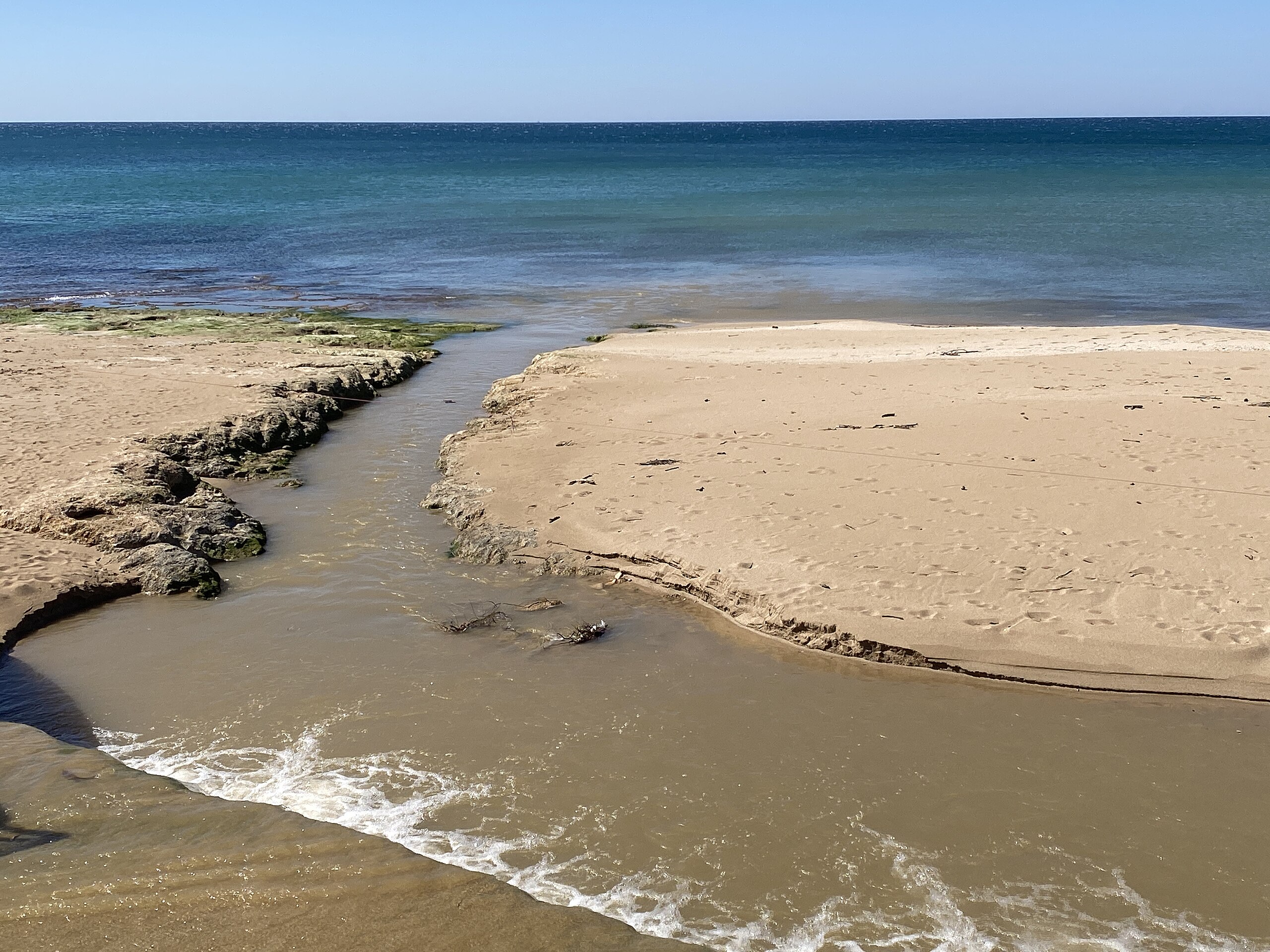
English: Name: Nahariya - Hagaton estuary Description: The exit point of Nahal Hagaton from the built canal to the point of discharge to the sea עברית: שם: נהריה- שפך הגעתון תיאור: נקודת היציאה של נחל הגעתון מהתעלה הבנויה לנקודת השפך לים הערות: נחל הגעתון-אורכו כ-20 ק"מ ראשיתו באזור מושב מעונה במערב הגליל והוא והוא זורם מערבה תוך שהוא חוצה את נהריה ונשפך לים בנחל נובעים כמה מעיינות שופעים מיקום: חוף נהריה קובץ מקורי: שפך הגעתון (10).JPG |
| Date | מרץ 2024 |
| Source | Shlomo Roded via the PikiWiki - Israel free image collection project |
| Author | שלמה רודד |
| Permission (Reusing this file) |
This file is licensed under the Creative Commons Attribution 2.5 Generic license. Attribution: Roded Shlomo Pikiwiki Israel
|

|
This file has been submitted through the Israeli Pikiwiki project and uploaded here automatically.
The project is cooperation between the Israel Internet Association and Wikimedia Israel in an effort to promote the concept of free content on the Web, by creating an image collection of digital-format, good quality photographs, documenting events relating to the history of Israel, or depicting places of distinction in Israel and the Middle East. The Pikiwiki Project is managed from 2021 by the "Heritage Stones" group.
Please consider notifying the project before renaming or deleting this file. Further information about the project can be found on the commons-l mailing list.
|
File history
Click on a date/time to view the file as it appeared at that time.
| Date/Time | Thumbnail | Dimensions | User | Comment | |
|---|---|---|---|---|---|
| current | 00:25, 7 March 2024 | | 4,032 × 3,024 (2.32 MB) | Pikiwikisrael (talk | contribs) |
You cannot overwrite this file.
File usage on Commons
There are no pages that use this file.