File:105AusflussWiltberg.JPG
Jump to navigation
Jump to search

Size of this preview: 750 × 600 pixels. Other resolutions: 300 × 240 pixels | 600 × 480 pixels | 960 × 768 pixels | 1,280 × 1,024 pixels | 1,600 × 1,280 pixels.
Original file (1,600 × 1,280 pixels, file size: 690 KB, MIME type: image/jpeg)
Captions
Captions
Add a one-line explanation of what this file represents
Summary
[edit]
| Description |
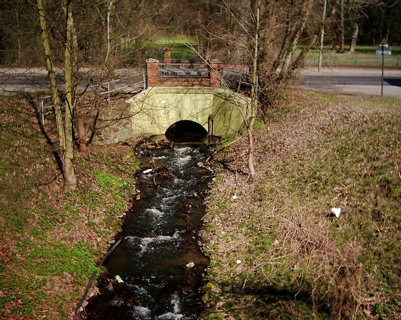
Deutsch: Die Panke verläuft durch stark besiedeltes Gebiet von Städten und Gemeinden. Deshalb sind die häufigen Brücken typisch. Die Brücke der Wiltbergstraße befindet sich am Ausgang des Schlossparkes. Die Panke benötigt nur einen schmalen aber langen Tunnel, um die Straße zu Unterqueren. |
| Date | |
| Source | Own work |
| Author | Boonekamp |
| Camera location | | View this and other nearby images on: OpenStreetMap |
|---|
Licensing
[edit]
| I, the copyright holder of this work, release this work into the public domain. This applies worldwide. In some countries this may not be legally possible; if so: I grant anyone the right to use this work for any purpose, without any conditions, unless such conditions are required by law. |
File history
Click on a date/time to view the file as it appeared at that time.
| Date/Time | Thumbnail | Dimensions | User | Comment | |
|---|---|---|---|---|---|
| current | 19:47, 2 April 2010 | | 1,600 × 1,280 (690 KB) | Boonekamp (talk | contribs) | {{Information |Description={{de|1=Die Panke verläuft durch stark besiedeltes Gebiet von Städten und Gemeinden. Deshalb sind die häufigen Brücken typisch. Die Brücke der Wiltbergstraße befindet sich am Ausgang des Schlossparkes. Die Panke benötigt n |
You cannot overwrite this file.
File usage on Commons
The following page uses this file:
File usage on other wikis
The following other wikis use this file:
- Usage on de.wikipedia.org