File:-2022-01-27 Bittern Line, East Runton, Norfolk (2).JPG
Jump to navigation
Jump to search

Size of this preview: 450 × 600 pixels. Other resolutions: 180 × 240 pixels | 360 × 480 pixels | 576 × 768 pixels | 768 × 1,024 pixels | 1,536 × 2,048 pixels | 3,864 × 5,152 pixels.
Original file (3,864 × 5,152 pixels, file size: 7.05 MB, MIME type: image/jpeg)
Captions
Captions
Add a one-line explanation of what this file represents
Summary
[edit]| Description |
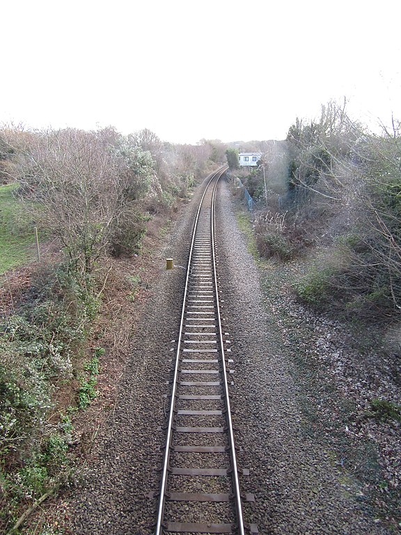
English: Looking along the line between Sheringham and Cromer from the bridge that carries Thain’s Lane over the Bittern Line located in the village of East Runton, Norfolk, United Kingdom. |
|
| Date |
Taken on 27 January 2022 Português: tirada a 27 de janeiro de 2022 |
|
| Source | Own work | |
| Author |
This file is licensed under the Creative Commons Attribution-Share Alike 4.0 International license.
|

.JPG&action=edit§ion=1)
| Camera location | | View this and other nearby images on: OpenStreetMap |
|---|
.JPG¶ms=052.935165_N_0001.263072_E_globe:Earth_type:camera_region:GB_&language=en)
| Object location | | View this and other nearby images on: OpenStreetMap |
|---|
.JPG¶ms=052.934837_N_0001.264171_E_globe:Earth_class:object_type:object_region:GB_&language=en)

|
The copyright holder of this file, Kolforn (Wikimedia), allows anyone to use it for any purpose, provided that the copyright holder is properly attributed. Redistribution, derivative work, commercial use, and all other use is permitted. |
Attribution:
Kolforn (Wikimedia)
|
File history
Click on a date/time to view the file as it appeared at that time.
| Date/Time | Thumbnail | Dimensions | User | Comment | |
|---|---|---|---|---|---|
| current | 13:40, 27 January 2022 | | 3,864 × 5,152 (7.05 MB) | Kolforn (talk | contribs) | {{Information |Description={{en|1=Looking along the line between Sheringham and Cromer from the bridge that carries Thain’s Lane over the Bittern Line located in the village of {{w|East Runton}}, Norfolk, United Kingdom.}} |Source={{own}} |Date={{Taken on|2022-01-27|location=United Kingdom}}{{pt|tirada a 27 de janeiro de 2022}} |Author={{User:Kolforn/Credit}} |Permission= |other_versions= }} {{Location dec|52.935165|1.263072|region:GB}} {{Object location dec|52.934837|1.264171|region:GB}}... |
You cannot overwrite this file.
File usage on Commons
The following page uses this file:
Metadata
.JPG&oldid=734551327)
Categories:
- Thain's Lane, East Runton
- Bridges in East Runton
- Railway bridges in Norfolk, England
- Bittern Line
- Single track railway lines
- 2022 in rail transport in Norfolk, England
- Bridges on the Bittern Line
- Bridges in Norfolk, England photographed in January 2022
- January 2019 in Norfolk, England
- January 2022 in Norfolk, England