File:(Five sketches along the Valley Pike in the vicinity of Fishers Hill, Strasburg, Cottontown, Mount Hope, Toms Brook, etc.). LOC 2005625095.jpg
Jump to navigation
Jump to search

Size of this preview: 485 × 600 pixels. Other resolutions: 194 × 240 pixels | 388 × 480 pixels | 621 × 768 pixels | 828 × 1,024 pixels | 1,656 × 2,048 pixels | 4,298 × 5,314 pixels.
Original file (4,298 × 5,314 pixels, file size: 2.7 MB, MIME type: image/jpeg)
Captions
Captions
Add a one-line explanation of what this file represents
Summary
[edit]| Description |
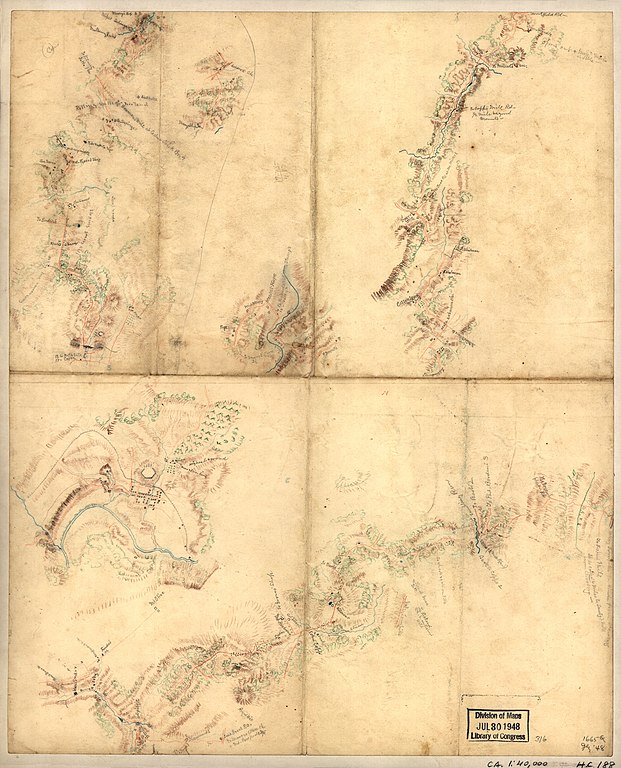
English: Shows names of some residents. Relief shown by hachures. Title, date, and scale from Stephenson's Civil War maps, 1989. Colored pencils, mounted on cloth. LC Civil War maps (2nd ed.), H188 Available also through the Library of Congress web site as raster image. In pencil on verso: 316. |
||
| Title | [Five sketches along the Valley Pike in the vicinity of Fishers Hill, Strasburg, Cottontown, Mount Hope, Toms Brook, etc.]. | ||
| Shelf ID | G3882.F46 186- .F5 | ||
| Date | 1860s | ||
| Source | https://www.loc.gov/item/2005625095/ | ||
| Author | Unknown author | ||
| Permission (Reusing this file) |
|
||
| Other versions |
|
||
| Location | United States · Fishers Hill Region · Virginia | ||
| Part of | Civil War Maps · Hotchkiss Map Collection · Military Battles And Campaigns · Catalog · American Memory · Geography And Map Division | ||
| Subject | Maps, Manuscript · Fishers Hill Region (Va.) · Fishers Hill Region · Virginia · United States · Maps · Landowners |


._LOC_2005625095.jpg&action=edit§ion=1)
Licensing
[edit]._LOC_2005625095.jpg&action=edit§ion=2)
|
This is a faithful photographic reproduction of a two-dimensional, public domain work of art. The work of art itself is in the public domain for the following reason:
The official position taken by the Wikimedia Foundation is that "faithful reproductions of two-dimensional public domain works of art are public domain".
This photographic reproduction is therefore also considered to be in the public domain in the United States. In other jurisdictions, re-use of this content may be restricted; see Reuse of PD-Art photographs for details. | ||||
File history
Click on a date/time to view the file as it appeared at that time.
| Date/Time | Thumbnail | Dimensions | User | Comment | |
|---|---|---|---|---|---|
| current | 08:36, 11 October 2018 | | 4,298 × 5,314 (2.7 MB) | Fæ (talk | contribs) | LOC Maps https://www.loc.gov/item/2005625095/ #5620 |
You cannot overwrite this file.
File usage on Commons
The following page uses this file:
._LOC_2005625095.jpg&oldid=743151749)