File:(東京都) 池袋にあるサンシャイン60からの風景。新宿方面を見ています。真ん中、ビル群は新宿副都心。この日は曇り - panoramio.jpg
Jump to navigation
Jump to search

Size of this preview: 800 × 533 pixels. Other resolutions: 320 × 213 pixels | 640 × 426 pixels | 1,024 × 682 pixels | 1,280 × 852 pixels | 1,600 × 1,065 pixels.
Original file (1,600 × 1,065 pixels, file size: 278 KB, MIME type: image/jpeg)
Captions
Captions
Add a one-line explanation of what this file represents
| Description |
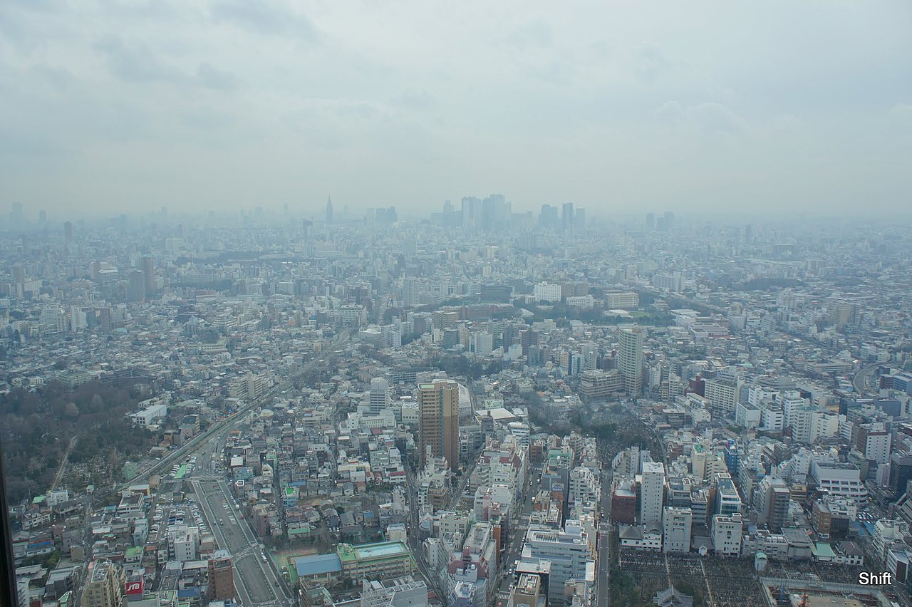
日本語: [東京都] 池袋にあるサンシャイン60からの風景。新宿方面を見ています。真ん中、ビル群は新宿副都心。この日は曇りだったので、遠くははっきり見えませんね。さすがに高いので、東京タワー、スカイツリーともに見えます。 |
||
| Date | Taken on 17 February 2011 | ||
| Source | https://web.archive.org/web/20161102191248/http://www.panoramio.com/photo/48868861 | ||
| Author | Shift | ||
| Permission (Reusing this file) |
This file is licensed under the Creative Commons Attribution-Share Alike 3.0 Unported license. Attribution: Shift
|
||
| Tags (from Panoramio photo page) | Toshima-ku, Tokyo, 東京, 風景 |
| Camera location | | View this and other nearby images on: OpenStreetMap |
|---|
_%E6%B1%A0%E8%A2%8B%E3%81%AB%E3%81%82%E3%82%8B%E3%82%B5%E3%83%B3%E3%82%B7%E3%83%A3%E3%82%A4%E3%83%B360%E3%81%8B%E3%82%89%E3%81%AE%E9%A2%A8%E6%99%AF%E3%80%82%E6%96%B0%E5%AE%BF%E6%96%B9%E9%9D%A2%E3%82%92%E8%A6%8B%E3%81%A6%E3%81%84%E3%81%BE%E3%81%99%E3%80%82%E7%9C%9F%E3%82%93%E4%B8%AD%E3%80%81%E3%83%93%E3%83%AB%E7%BE%A4%E3%81%AF%E6%96%B0%E5%AE%BF%E5%89%AF%E9%83%BD%E5%BF%83%E3%80%82%E3%81%93%E3%81%AE%E6%97%A5%E3%81%AF%E6%9B%87%E3%82%8A_-_panoramio.jpg¶ms=035.729513_N_0139.717941_E_globe:Earth_type:camera_source:Panoramio_&language=en)
File history
Click on a date/time to view the file as it appeared at that time.
| Date/Time | Thumbnail | Dimensions | User | Comment | |
|---|---|---|---|---|---|
| current | 01:48, 14 November 2016 | | 1,600 × 1,065 (278 KB) | Panoramio upload bot (talk | contribs) | {{Information |description=[東京都] 池袋にあるサンシャイン60からの風景。新宿方面を見ています。真ん中、ビル群は新宿副都心。この日は曇りだったので、遠くははっきり見えませんね。さす... |
You cannot overwrite this file.
File usage on Commons
There are no pages that use this file.
_池袋にあるサンシャイン60からの風景。新宿方面を見ています。真ん中、ビル群は新宿副都心。この日は曇り_-_panoramio.jpg&oldid=734458102)