File:高の瀬峡 - panoramio.jpg
Jump to navigation
Jump to search

Size of this preview: 800 × 529 pixels. Other resolutions: 320 × 212 pixels | 640 × 424 pixels | 1,024 × 678 pixels | 1,280 × 847 pixels | 1,960 × 1,297 pixels.
Original file (1,960 × 1,297 pixels, file size: 750 KB, MIME type: image/jpeg)
Captions
Captions
Add a one-line explanation of what this file represents
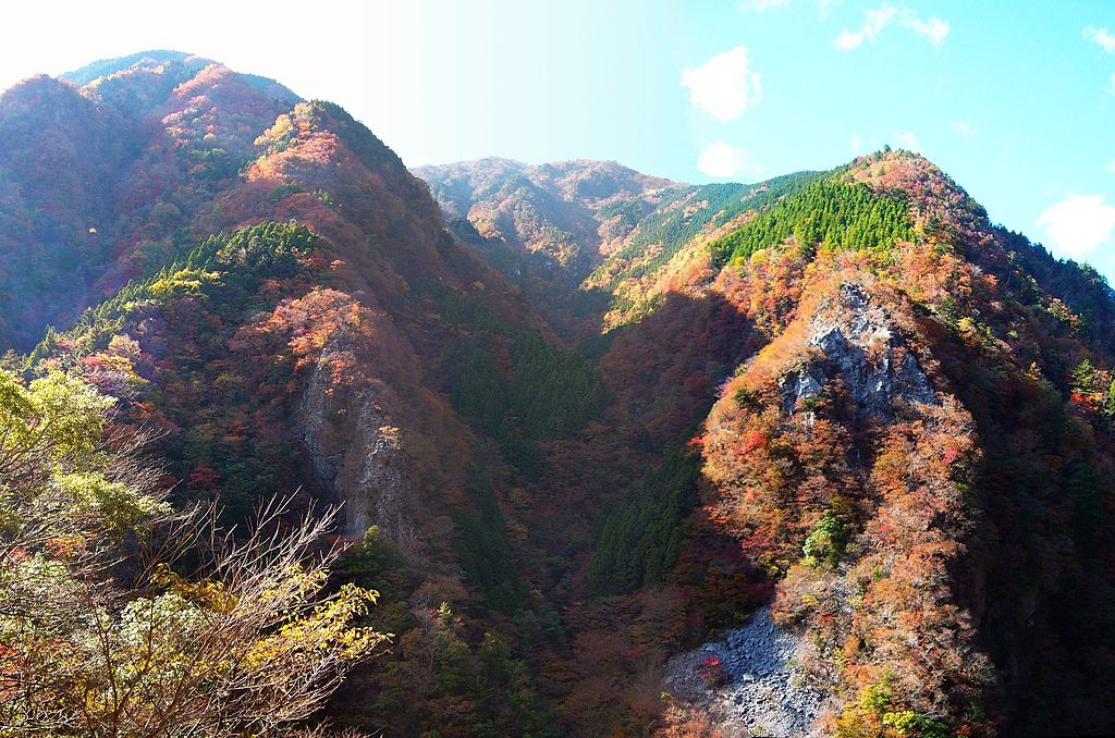
| Description | 高の瀬峡(徳島県那賀町) | ||
| Date | 18 November 2008 (original upload date) | ||
| Source | https://web.archive.org/web/20161013033444/http://www.panoramio.com/photo/16081621 | ||
| Author | akiakane | ||
| Permission (Reusing this file) |
This file is licensed under the Creative Commons Attribution 3.0 Unported license. Attribution: akiakane
|
| Camera location | | View this and other nearby images on: OpenStreetMap |
|---|
File history
Click on a date/time to view the file as it appeared at that time.
| Date/Time | Thumbnail | Dimensions | User | Comment | |
|---|---|---|---|---|---|
| current | 16:39, 31 August 2016 | | 1,960 × 1,297 (750 KB) | Panoramio upload bot (talk | contribs) | {{Information |description=高の瀬峡 |date={{Original upload date|2008-11-18}} |source=http://www.panoramio.com/photo/16081621 |author=[http://www.panoramio.com/user/2285547?with_photo_id=16081621 akiakane] |permission={{cc-by-3.0|akiakane}} {{Panor... |
You cannot overwrite this file.
File usage on Commons
There are no pages that use this file.