File:頭城老街.jpg
Jump to navigation
Jump to search

Size of this preview: 800 × 462 pixels. Other resolutions: 320 × 185 pixels | 640 × 370 pixels | 1,024 × 591 pixels | 1,280 × 739 pixels | 2,560 × 1,478 pixels | 5,184 × 2,993 pixels.
Original file (5,184 × 2,993 pixels, file size: 8.6 MB, MIME type: image/jpeg)
Captions
Captions
Add a one-line explanation of what this file represents
Summary
[edit]
| Description |
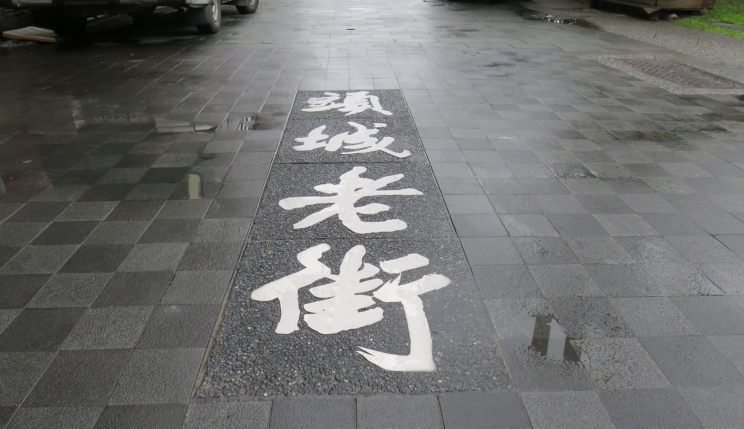
中文(臺灣):頭圍做為漢人踏入蘭地的第一入口,落腳生根市集自然形成,以便利生計所需。然「蘭地僻處全台山後生齒日繁,人煙輻輳,一切日用所需全賴各處小船於春夏間入口貿易。倘累以官差,或小加載禁,舟商一經裹足,地方立見衰微。」頭圍街因臨近烏石港,由港埠進口貿易所帶動的民生物資交易買賣,促成了頭圍街扮演了以河港行郊啟動商業活力興盛的門戶窗口,頭圍街儼然成為蘭地商業重心,行商巨賈,行郊中盤、文市小賣、「開蘭第一街」名號,果然名不虛傳。 老街的繁榮,隨著港口貿易熱絡而維持興盛,但也隨著烏石港於1878年,因水路淤塞、船隻改由打馬煙出口後,漸趨沒落。此時,頭圍港興起,取代了烏石港的地位,頭圍街再現盛況,直到日治時期,日人為求軍事統治及交通便利,修建淡蘭古道至頭圍聯絡道、在原頭圍街西側闢建新路、這一條與頭圍街幾乎平行的道路,成為日後開蘭路的基礎,而1924年完成的八堵至蘇澳鐵路,車站位置也選擇在開蘭路北端,車站帶來的人潮,連帶使得開蘭路人潮聚集、匯集成市、百業興盛,慢慢地取代了以和平街為商業中心的地位,頭圍和平老街就此失去昔日熱鬧風華,獨留下令人撫今追昔,曾經繁榮喧嘩,如今斑駁老成的建築物。 |
| Source | https://memory.culture.tw/Home/Detail?Id=282769&IndexCode=Culture_Place |
| Author | 創作者:莊文生;鄭文嵐;高璇。貢獻者:宜蘭縣政府文化局 |
| Camera location | | View this and other nearby images on: OpenStreetMap |
|---|
Licensing
[edit]
This file is licensed under the Creative Commons Attribution 3.0 Taiwan license.
- You are free:
- to share – to copy, distribute and transmit the work
- to remix – to adapt the work
- Under the following conditions:
- attribution – You must give appropriate credit, provide a link to the license, and indicate if changes were made. You may do so in any reasonable manner, but not in any way that suggests the licensor endorses you or your use.

File history
Click on a date/time to view the file as it appeared at that time.
| Date/Time | Thumbnail | Dimensions | User | Comment | |
|---|---|---|---|---|---|
| current | 07:55, 13 April 2022 | | 5,184 × 2,993 (8.6 MB) | Muyueh Bot (talk | contribs) |
You cannot overwrite this file.
File usage on Commons
There are no pages that use this file.