File:长治街景 - panoramio.jpg
Jump to navigation
Jump to search

Size of this preview: 800 × 450 pixels. Other resolutions: 320 × 180 pixels | 640 × 360 pixels | 1,024 × 576 pixels | 1,280 × 720 pixels | 2,560 × 1,440 pixels | 5,472 × 3,078 pixels.
Original file (5,472 × 3,078 pixels, file size: 6.72 MB, MIME type: image/jpeg)
Captions
Captions
Add a one-line explanation of what this file represents
Summary
[edit]
| Description |
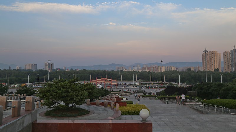
中文(简体):长治街景 |
||
| Date | Taken on 23 July 2015 | ||
| Source | https://web.archive.org/web/20161031125551/http://www.panoramio.com/photo/124827002 | ||
| Author | 江上清风1961 | ||
| Permission (Reusing this file) |
This file is licensed under the Creative Commons Attribution 3.0 Unported license. Attribution: 江上清风1961
|
||
| Panoramio Tags | Changzhi, 2013, 山西省长治市 |
| Camera location | | View this and other nearby images on: OpenStreetMap |
|---|
File history
Click on a date/time to view the file as it appeared at that time.
| Date/Time | Thumbnail | Dimensions | User | Comment | |
|---|---|---|---|---|---|
| current | 21:44, 7 May 2020 | | 5,472 × 3,078 (6.72 MB) | EEIM (talk | contribs) | color |
| 20:09, 20 June 2017 |  | 5,472 × 3,648 (4.09 MB) | Panoramio upload bot (talk | contribs) | == {{int:filedesc}} == {{Information |description=长治街景 |date={{Taken on|2015-07-23}} |source=http://www.panoramio.com/photo/124827002 |author=[http://www.panoramio.com/user/1400530?with_photo_id=124827002 江上清风1961] |permission={{cc-by-3... |
You cannot overwrite this file.
File usage on Commons
The following 4 pages use this file:
File usage on other wikis
The following other wikis use this file:
- Usage on ar.wikipedia.org
- Usage on bg.wikipedia.org
- Usage on ca.wikipedia.org
- Usage on ceb.wikipedia.org
- Usage on de.wikipedia.org
- Usage on en.wikipedia.org
- Usage on en.wikivoyage.org
- Usage on eo.wikipedia.org
- Usage on es.wikipedia.org
- Usage on eu.wikipedia.org
- Usage on fr.wikipedia.org
- Usage on hy.wikipedia.org
- Usage on id.wikipedia.org
- Usage on incubator.wikimedia.org
- Usage on ja.wikipedia.org
- Usage on ko.wikipedia.org
- Usage on ru.wikipedia.org
- Usage on sr.wikipedia.org
- Usage on uk.wikipedia.org
- Usage on ur.wikipedia.org
- Usage on vi.wikipedia.org
- Usage on www.wikidata.org
- Usage on zh.wikipedia.org