File:長野県の10分割区分.png
長野県の10分割区分.png (256 × 329 pixels, file size: 18 KB, MIME type: image/png)
Captions
Captions
Summary
[edit]
| Description |
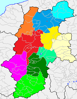
日本語: File:Nagano-pref.png(市町村境界図、長野県)を基に投稿者が製作。元画像のライセンスに従う。 |
||
| Source | File:Japan map.png | ||
| Author |
|
||
| Permission (Reusing this file) |
|
Licensing
[edit]

|
Permission is granted to copy, distribute and/or modify this document under the terms of the GNU Free Documentation License, Version 1.2 or any later version published by the Free Software Foundation; with no Invariant Sections, no Front-Cover Texts, and no Back-Cover Texts. A copy of the license is included in the section entitled GNU Free Documentation License. |
- You are free:
- to share – to copy, distribute and transmit the work
- to remix – to adapt the work
- Under the following conditions:
- attribution – You must give appropriate credit, provide a link to the license, and indicate if changes were made. You may do so in any reasonable manner, but not in any way that suggests the licensor endorses you or your use.
- share alike – If you remix, transform, or build upon the material, you must distribute your contributions under the same or compatible license as the original.
File history
Click on a date/time to view the file as it appeared at that time.
| Date/Time | Thumbnail | Dimensions | User | Comment | |
|---|---|---|---|---|---|
| current | 09:22, 7 August 2012 | | 256 × 329 (18 KB) | Shige3141 (talk | contribs) | 行政区分を24年度時点のものに変更 |
| 12:35, 22 December 2005 |  | 467 × 597 (30 KB) | 深志 (talk | contribs) | 2005年12月22日 投稿者地震が作成 |
You cannot overwrite this file.
File usage on Commons
There are no pages that use this file.
File usage on other wikis
The following other wikis use this file:
- Usage on ja.wikipedia.org