File:道道106号 稚内天塩線に設置。津波浸水予想地域を示す標識。 2013-04-07 14-24.jpg
Jump to navigation
Jump to search
No higher resolution available.
道道106号_稚内天塩線に設置。津波浸水予想地域を示す標識。_2013-04-07_14-24.jpg (516 × 409 pixels, file size: 140 KB, MIME type: image/jpeg)
Captions
Captions
Add a one-line explanation of what this file represents
Summary
[edit]
| Description |
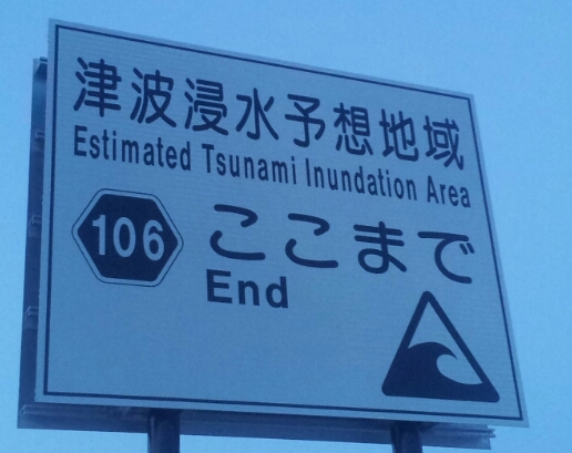
日本語:道道106号 稚内天塩線に設置。津波浸水予想地域を示す標識。
English: Warning sign on Hokkaido Prefectural Road #106: Estimated Tsunami Inundation Area. |
| Date | 7 April 2013 (original upload date) |
| Source | Own work |
| Author | User:さとうひろき |
| This file was uploaded via Mobile Web. |
Licensing
[edit]
I, the copyright holder of this work, hereby publish it under the following license:
This file is licensed under the Creative Commons Attribution-Share Alike 3.0 Unported license.
- You are free:
- to share – to copy, distribute and transmit the work
- to remix – to adapt the work
- Under the following conditions:
- attribution – You must give appropriate credit, provide a link to the license, and indicate if changes were made. You may do so in any reasonable manner, but not in any way that suggests the licensor endorses you or your use.
- share alike – If you remix, transform, or build upon the material, you must distribute your contributions under the same or compatible license as the original.
File history
Click on a date/time to view the file as it appeared at that time.
| Date/Time | Thumbnail | Dimensions | User | Comment | |
|---|---|---|---|---|---|
| current | 05:24, 7 April 2013 | | 516 × 409 (140 KB) | さとうひろき (talk | contribs) | ページで使用する写真を追加しました |
You cannot overwrite this file.
File usage on Commons
There are no pages that use this file.