File:芹壁海滩 - Qinbi Beach - 2015.05 - panoramio.jpg
Jump to navigation
Jump to search

Size of this preview: 800 × 357 pixels. Other resolutions: 320 × 143 pixels | 640 × 286 pixels | 1,024 × 457 pixels | 1,280 × 571 pixels | 2,560 × 1,142 pixels | 5,627 × 2,511 pixels.
Original file (5,627 × 2,511 pixels, file size: 4.25 MB, MIME type: image/jpeg)
Captions
Captions
Add a one-line explanation of what this file represents
Summary
[edit]
| Description |
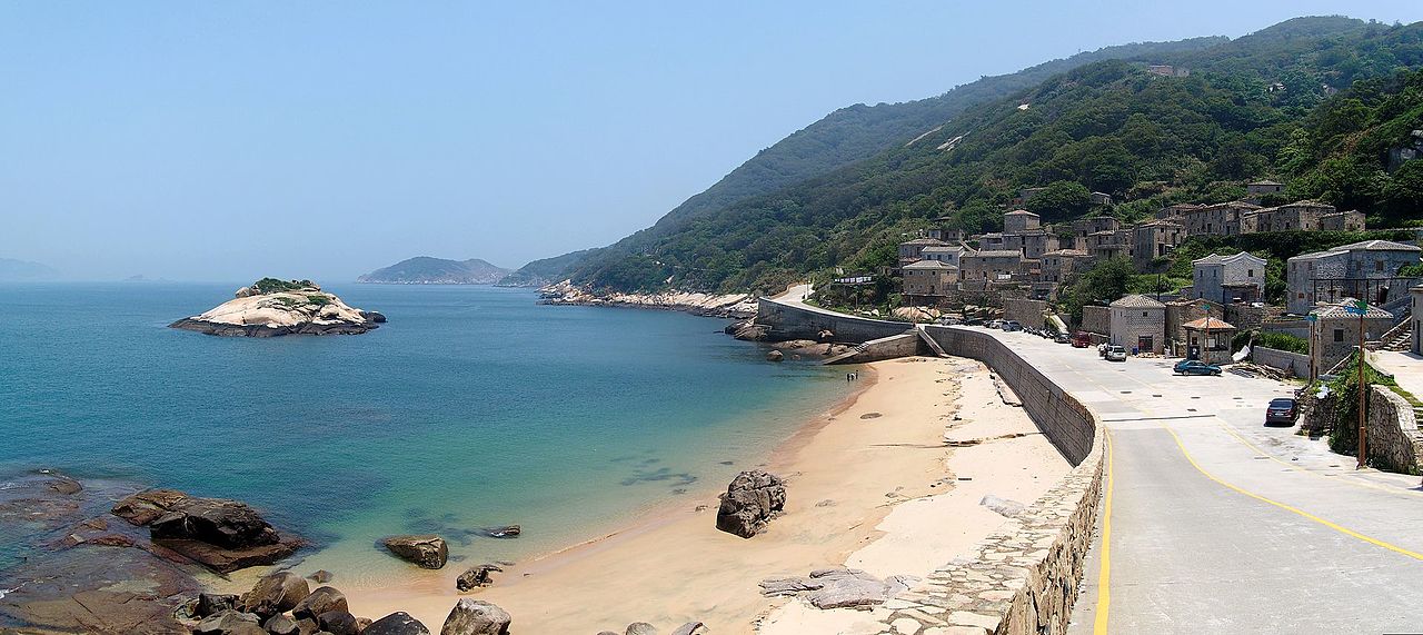
中文(臺灣):芹壁海灘 - 民國104年5月 中文(简体):芹壁海滩 - 2015.05 English: Qinbi Beach - 2015.05 |
||
| Date | Taken on 3 May 2015 | ||
| Source | https://web.archive.org/web/20161101232644/http://www.panoramio.com/photo/120298977 | ||
| Author | rheins | ||
| Permission (Reusing this file) |
This file is licensed under the Creative Commons Attribution 3.0 Unported license. Attribution: rheins
|
||
| Panoramio Tags | best, 马祖 - Matsu Islands |
| Camera location | | View this and other nearby images on: OpenStreetMap |
|---|
File history
Click on a date/time to view the file as it appeared at that time.
| Date/Time | Thumbnail | Dimensions | User | Comment | |
|---|---|---|---|---|---|
| current | 22:21, 15 May 2017 | | 5,627 × 2,511 (4.25 MB) | Panoramio upload bot (talk | contribs) | == {{int:filedesc}} == {{Information |description=芹壁海滩 - Qinbi Beach - 2015.05 |date={{Taken on|2015-05-03}} |source=http://www.panoramio.com/photo/120298977 |author=[http://www.panoramio.com/user/5226993?with_photo_id=120298977 rheins] |permis... |
You cannot overwrite this file.
File usage on Commons
There are no pages that use this file.