File:瑞垣山 - panoramio.jpg
Jump to navigation
Jump to search
Size of this preview: 800 × 450 pixels. Other resolutions: 320 × 180 pixels | 640 × 360 pixels | 1,024 × 576 pixels | 1,280 × 720 pixels | 2,848 × 1,602 pixels.
Original file (2,848 × 1,602 pixels, file size: 2.13 MB, MIME type: image/jpeg)
Captions
Captions
Add a one-line explanation of what this file represents
Summary
[edit]
| Description |
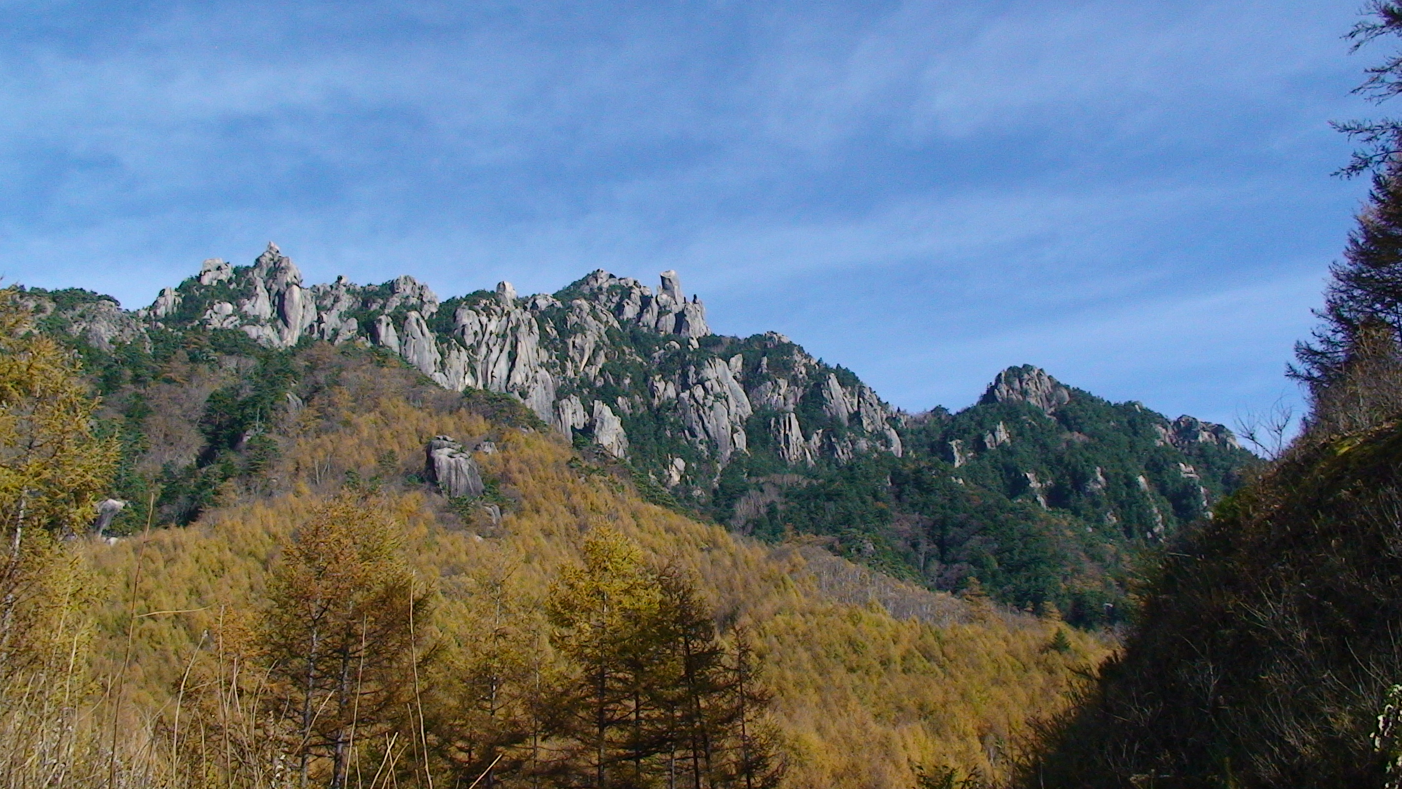
日本語: 瑞牆山を西から見る
English: Mount Mizugaki as seen from the west. |
||
| Date | Taken on 2 November 2008 | ||
| Source | https://web.archive.org/web/20161111050740/http://www.panoramio.com/photo/41221853 | ||
| Author | funk bass | ||
| Permission (Reusing this file) |
This file is licensed under the Creative Commons Attribution 3.0 Unported license. Attribution: funk bass
|
| Camera location | | View this and other nearby images on: OpenStreetMap |
|---|
File history
Click on a date/time to view the file as it appeared at that time.
| Date/Time | Thumbnail | Dimensions | User | Comment | |
|---|---|---|---|---|---|
| current | 04:32, 11 November 2016 | | 2,848 × 1,602 (2.13 MB) | Panoramio upload bot (talk | contribs) | {{Information |description=瑞垣山 |date={{Taken on|2008-11-02}} |source=http://www.panoramio.com/photo/41221853 |author=[http://www.panoramio.com/user/2162507?with_photo_id=41221853 funk bass] |permission={{cc-by-3.0|funk bass}} {{Panoramioreview|Pa... |
You cannot overwrite this file.
File usage on Commons
There are no pages that use this file.