File:火とぼし - panoramio.jpg
Jump to navigation
Jump to search

Size of this preview: 800 × 568 pixels. Other resolutions: 320 × 227 pixels | 640 × 455 pixels | 1,024 × 727 pixels | 1,280 × 909 pixels | 2,072 × 1,472 pixels.
Original file (2,072 × 1,472 pixels, file size: 780 KB, MIME type: image/jpeg)
Captions
Captions
Add a one-line explanation of what this file represents
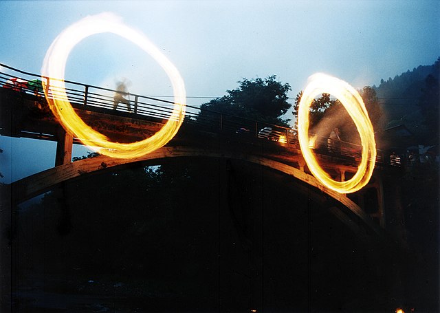
| Description | 火とぼし | ||
| Date | 28 June 2008 (original upload date) | ||
| Source | https://web.archive.org/web/20161012090609/http://www.panoramio.com/photo/11608690 | ||
| Author | fum3670045 | ||
| Permission (Reusing this file) |
This file is licensed under the Creative Commons Attribution 3.0 Unported license. Attribution: fum3670045
|
| Camera location | | View this and other nearby images on: OpenStreetMap |
|---|
File history
Click on a date/time to view the file as it appeared at that time.
| Date/Time | Thumbnail | Dimensions | User | Comment | |
|---|---|---|---|---|---|
| current | 02:10, 5 May 2016 | | 2,072 × 1,472 (780 KB) | Panoramio upload bot (talk | contribs) | {{Information |description=火とぼし |date={{Original upload date|2008-06-28}} |source=http://www.panoramio.com/photo/11608690 |author=[http://www.panoramio.com/user/1467920?with_photo_id=11608690 fum3670045] |permission={{cc-by-3.0|fum3670045}} {{P... |
You cannot overwrite this file.
File usage on Commons
There are no pages that use this file.
File usage on other wikis
The following other wikis use this file: