File:湿地恢复工程 - Wetland Ecological Restoration - 2012.08 - panoramio.jpg
Jump to navigation
Jump to search

Size of this preview: 800 × 600 pixels. Other resolutions: 320 × 240 pixels | 640 × 480 pixels | 1,024 × 768 pixels | 1,280 × 959 pixels | 2,560 × 1,919 pixels | 3,178 × 2,382 pixels.
Original file (3,178 × 2,382 pixels, file size: 1.14 MB, MIME type: image/jpeg)
Captions
Captions
Add a one-line explanation of what this file represents
Summary
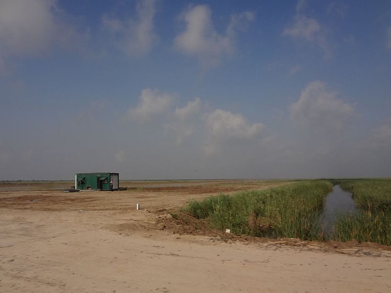
[edit]| Description | 湿地恢复工程 - Wetland Ecological Restoration - 2012.08 | ||
| Date | Taken on 25 August 2012 | ||
| Source | https://web.archive.org/web/20161024104347/http://www.panoramio.com/photo/78353861 | ||
| Author | rheins | ||
| Permission (Reusing this file) |
This file is licensed under the Creative Commons Attribution 3.0 Unported license. Attribution: rheins
|
||
| Tags (from Panoramio photo page) | Dongying, 黄河三角洲 - Yellow River Delta |
| Camera location | | View this and other nearby images on: OpenStreetMap |
|---|

File history
Click on a date/time to view the file as it appeared at that time.
| Date/Time | Thumbnail | Dimensions | User | Comment | |
|---|---|---|---|---|---|
| current | 00:55, 21 January 2017 | | 3,178 × 2,382 (1.14 MB) | Panoramio upload bot (talk | contribs) | == {{int:filedesc}} == {{Information |description=湿地恢复工程 - Wetland Ecological Restoration - 2012.08 |date={{Taken on|2012-08-25}} |source=http://www.panoramio.com/photo/78353861 |author=[http://www.panoramio.com/user/5226993?with_photo_id=7... |
You cannot overwrite this file.
File usage on Commons
There are no pages that use this file.