File:湯浅荘から見える海 - panoramio.jpg
Jump to navigation
Jump to search

Size of this preview: 800 × 600 pixels. Other resolutions: 320 × 240 pixels | 640 × 480 pixels | 1,024 × 768 pixels | 1,280 × 960 pixels | 1,600 × 1,200 pixels.
Original file (1,600 × 1,200 pixels, file size: 456 KB, MIME type: image/jpeg)
Captions
Captions
Add a one-line explanation of what this file represents
| Description |
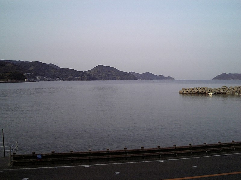
日本語: 湯浅荘から見える海 |
||
| Date | Taken on 1 April 2006 | ||
| Source | https://web.archive.org/web/20161113034517/http://www.panoramio.com/photo/41824785 | ||
| Author | 六九六九緑町 | ||
| Permission (Reusing this file) |
This file is licensed under the Creative Commons Attribution 3.0 Unported license. Attribution: 六九六九緑町
|
||
| Tags (from Panoramio photo page) | Hirogawa, aridagun, GPS, japan, wakayamaken, 和歌山県, 農産フォルダー |
| Camera location | | View this and other nearby images on: OpenStreetMap |
|---|

File history
Click on a date/time to view the file as it appeared at that time.
| Date/Time | Thumbnail | Dimensions | User | Comment | |
|---|---|---|---|---|---|
| current | 03:23, 13 November 2016 | | 1,600 × 1,200 (456 KB) | Panoramio upload bot (talk | contribs) | {{Information |description=湯浅荘から見える海 |date={{Taken on|2006-04-01}} |source=http://www.panoramio.com/photo/41824785 |author=[http://www.panoramio.com/user/4952442?with_photo_id=41824785 六九六九緑町] |permission={{cc-by-3.0|六... |
You cannot overwrite this file.
File usage on Commons
There are no pages that use this file.